The National Aeronautics and Space Administration is preparing to boldly go where many Coloradoans have gone before -- into mountain snowpack. NASA is undertaking a five-year study of snow, called SnowEx, so that eventually new combinations of snow sensors can be placed on satellites.
Those sensors will show, on a global scale, how much water is in snow and how fast it is melting. That will help manage the world's water supply, as well as better predict floods and droughts.
This study, which will be carried out at two Western Colorado sites, is fraught with what NASA scientists call "confounding factors," most notably, trees. Past attempts to measure snow from satellites have failed to "see" through tree canopy.
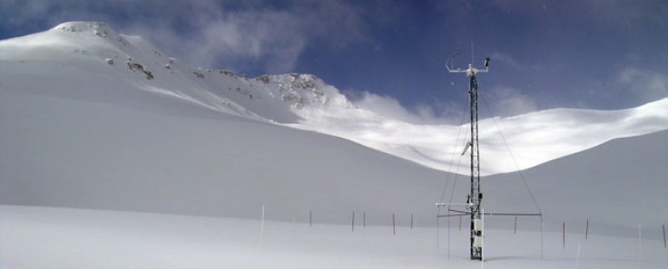
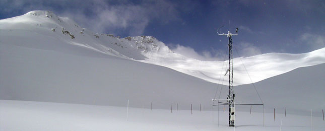
On the Grand Mesa near Grand Junction, NASA chose a study site that is heavily forested and should be able to confound an array of high-tech airborne sensors. At the Center for Snow & Avalanche Studies in the San Juan mountains, NASA will study an extreme, high-altitude headwaters basin that has the benefit of decades of on-the-ground data collection.
In February, the NASA snow study will bring sensor-carrying aircraft to the sites, including a lumbering turbo-prop that will fly very low over the treetops for five days. Other study aircraft will be flying high and will be less noticeable.
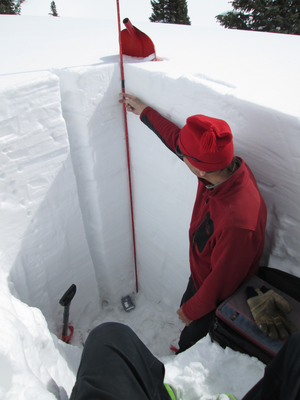
NASA also plans to have 40 to 50 researchers on the ground to perform what the agency refers to as "ground truthing." That means digging snow pits and measuring snow factors by hand to determine if the high-tech sensors on the aircraft are producing accurate data.
Got more questions about SnowEx? NASA has created a slide presentation, "Got Snow?" to explain the ins and outs, and ups and downs, of the project.
Colorado Matters host Ryan Warner speaks with NASA SnowEx project scientist Edward Kim and Center for Snow & Avalanche Studies director Jeff Derry.


