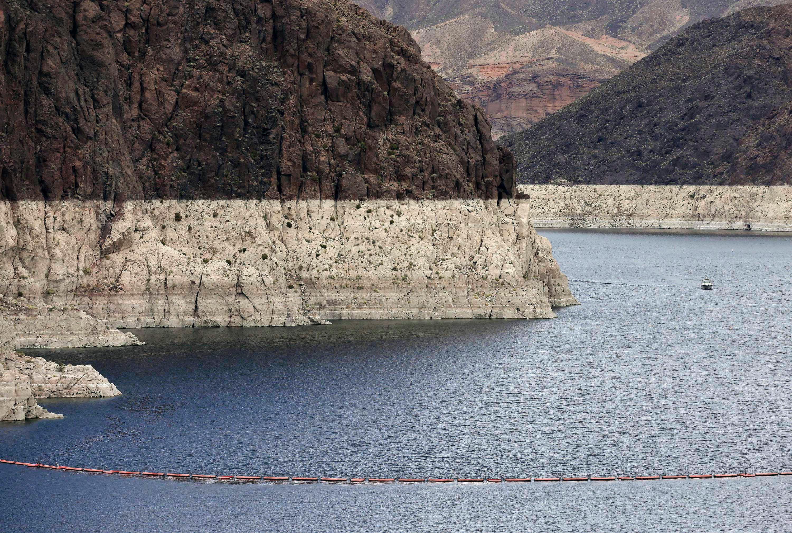

The National Oceanic and Atmospheric Administration said the Colorado River is expected to carry only 43 percent of the average amount of water into Lake Powell, one of two huge reservoirs that store and distribute the river.
It's the fifth-lowest forecast in 54 years.
"It's pretty dramatic. It's a very low runoff season," said Greg Smith, a hydrologist with the agency.
But officials have said that Lake Powell and its companion, Lake Mead, will be high enough to avoid mandatory cutbacks for water users this year.
The Colorado River serves about 40 million people and 6,300 square miles of farmland in the U.S. and Mexico. Arizona, California, Colorado, Nevada, New Mexico, Wyoming and Utah all use the river or its tributaries, along with 20 native American reservations.
The river is under increasing stress because of rising demand and declining flows. The region has been in a drought for 18 years — long enough that some researchers say it may represent a permanent shift.
Global warming is also contributing to the reduced river flows, scientists said.
Last year's snowfall was uneven but mostly below average across the mountains that feed the Colorado.
The western Wyoming mountains that give rise to the Green River, the Colorado's largest tributary, received 116 percent of their average snow at the peak of the winter, Smith said.
But river valleys in southwestern Colorado ranged from 44 to 56 percent of average at their best.
"Southwest Colorado had their lowest precipitation on record," Smith said.
One significant storm hit the Colorado River region in April, but snow fell only at the highest elevations, Smith said. Lower regions got mostly rain, and unlike snow, rain runs off immediately and can't be as easily captured in reservoirs for later use.
Water levels in some mountain rivers will peak in the next week or so as the snow melts, Smith said. That's earlier than usual but mostly within the normal range, he said.


