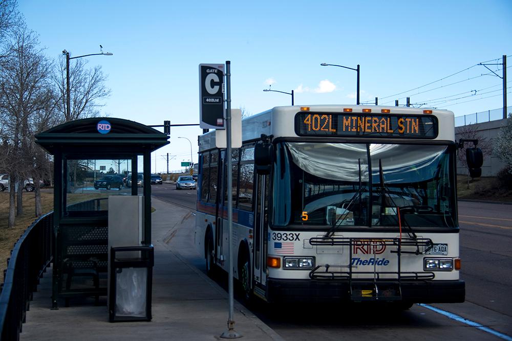
The Regional Transportation District’s bus service, which accounts for the majority of transit trips in metro Denver, could look very different a year from now.
Where buses go and how often is a key part of the agency’s two-year-long attempt to “Reimagine RTD”, which is meant to reposition the agency in anticipation of population growth and changing technologies. They mean to assess the Denver area’s mobility needs over the next 30 years and define RTD’s long-term strategies.
More immediately, RTD will develop a “system optimization plan” that is scheduled to go into effect in 2021. All of RTD services will be up for changes — but because buses comprise the majority of RTD’s services and bus routes are so flexible, changes there are likely to be the most consequential.
This spring, staff will present the agency’s board of directors with four different plans that highlight a different — and sometimes competing — priority. For example, one plan will emphasize cost efficiency by running service more often in denser areas. A contrasting plan will favor geographic reach. Another will weigh social equity, and put service where the most transit-dependent people live.
Such compromises will be necessary because RTD has only so much money, Bill Sirois, RTD’s senior manager of transit-oriented communities, told the board in an early February meeting.
“I’ll be frank, not everybody is going to like the tradeoffs,” Sirois said. “There will be winners; there will be losers.”
Board member Judy Lubow, who represents the Longmont area, said she thinks more service cuts are coming — beyond those already proposed for this May because of an ongoing driver shortage.
“I think that although it’s important to state that it’s not the same as service reductions, it may indeed entail them,” Lubow said.
“It’s fair to say that we are going to be putting together a system optimization plan that is constrained by our available financial resources,” replied Bruce Abel, RTD’s special projects director. “The real question is, ‘how do we allocate our finite resources to provide the best service?’ ”
Staff also pointed out that while some may see service shifts from one area to another as a cut, the beneficiaries will likely see it as an improvement. Ultimately, Sirois told the board, they must decide which factors are most important to weigh when planning service.
“I think that we can look forward to a pretty tumultuous experience,” Lubow concluded.
Before that decision needs to be made later in 2020, staff are using data to help inform it. That included a presentation that compared RTD to six of its peer transit agencies across the country.
Among the highlighted differences: RTD’s service area, at 2,342 square miles, is by far the largest and has the lowest density, at just 1,247 people per square mile. Transit is more cost-efficient in dense areas; RTD’s own data shows its suburban and regional buses are generally more expensive to operate.
It would be politically difficult to cut service to suburban areas, as the bulk of RTD’s budget comes from a sales tax levied equally across the district. And, board member Vince Buzek noted, people in those places still need transit — and RTD has made a commitment in its own mission statement to provide it.
“We need to look at how to make all of it work together,” Buzek said in an interview.
It’s not as though RTD has ignored suburbia. The multi-billion dollar FasTracks plan voters passed in 2004 was primarily aimed at moving suburban commuters into downtown Denver via new rail lines.
Most of those lines are now open, but the behind-schedule N Line to Thornton and Northglenn and the all-but-indefinitely delayed B Line extension to Boulder and Longmont mean elected officials and taxpayers on the north side have complained for years that they’ve paid millions of dollars in taxes with little to show for it.
A combination of data sources will be used in each of RTD’s four different service plans, said Brian Welch, RTD’s senior manager of planning technical services. Sources include rider surveys, the U.S. Census, and even location data from cellphones. Welch and other staffers stressed that the cellphone data is in aggregate form and couldn’t be used to identify anyone.
But that still raised the eyebrows of at least one board member.
“I’m not saying don’t do it or anything like that, and maybe it’s just that we’ve crossed into a brave new world, but I just don’t want it to be a trivial matter that government now has everywhere you’ve been, everywhere you go,” board member Ken Mihalik said. “And they’re using it for decision making.”
Staff say the data will allow them to better determine where people are and where they are going, which will make the plans less arbitrary. They will present more details to the board later in February.


