As moisture built up during the months of February and March in the northern and central mountains, the bottom half of the state began lagging behind.
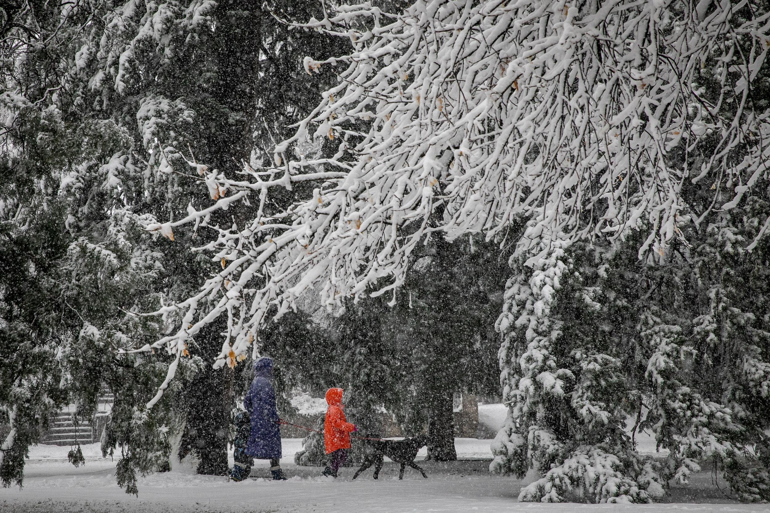
But thanks to the March 19 snowstorm, the San Juan and Gunnison basins are now approaching average.
“Now the southern half of the state is close enough to average, we're definitely going to feel more comfortable instead of the growing concern we've been seeing,” assistant state climatologist Becky Bolinger said.
The northern and central mountains didn’t see much of a boost in snowpack last week, but Bolinger adds “they’re keeping up with average or just above average.”
February and March are key months for building Colorado snowpack, which fills the state's water reservoirs.
The one caveat to all good snowpack news is that predicted runoff is expected to be lower than normal, according to the Colorado River Basin Forecast Center. This is because low precipitation in the fall created thirsty soils, which could grab moisture from spring runoff before it makes its way to reservoirs.
“Even though snowpack is looking good, the precipitation accumulation since October has been lower,” Bolinger said. “Once that melting starts, say we have a normal season, we would have to get soil moisture back to a normal level, so that might mean there’s less for reservoirs.”


