- Weather: Snow is good for the fire — but bad for pipes in evacuated homes
- What we know right now: Sheriff confirms two deaths in Grand Lake
- Rocky Mountain National Park: How bad is the fire damage to RMNP?
- Photos: What our reporters are seeing, from Grand County to Estes Park
- Maps, resources, evacuation information and more
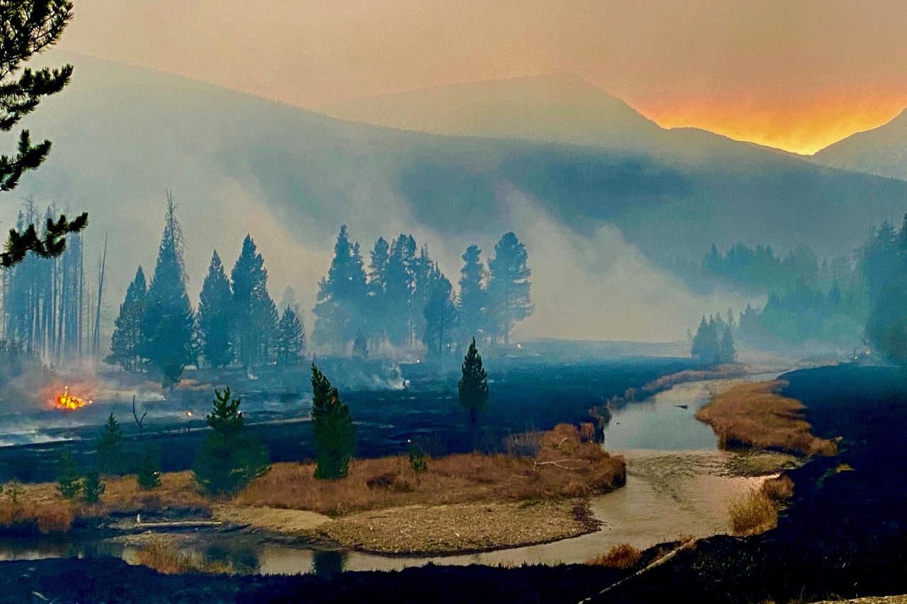
A storm could bring up to a foot of snow this weekend to the cluster of wildfires in Colorado's northern mountains. While that will offer some relief, it's unlikely that enough snow will fall to put out those blazes completely.
And before any snow arrives, more dry and windy conditions are expected near the East Troublesome fire. Red Flag Warnings will be in effect Saturday for areas around Granby and Estes Park.
According to forecasters, the snow will dampen the fires Saturday night and Sunday. The Colorado Department of Transportation is also urging people to avoid traveling to the mountains this weekend because of the weather.
Road closures due to fires have spread the state's transportation crews thin. And the snow means plows will be out, limiting capacity even further.
"Every spun-out car and crash will require attention to get roads cleared again, and avoidable traffic makes it harder for first responders and evacuees to get where they need to go," CDOT Executive Director Shoshana Lew said in a statement.
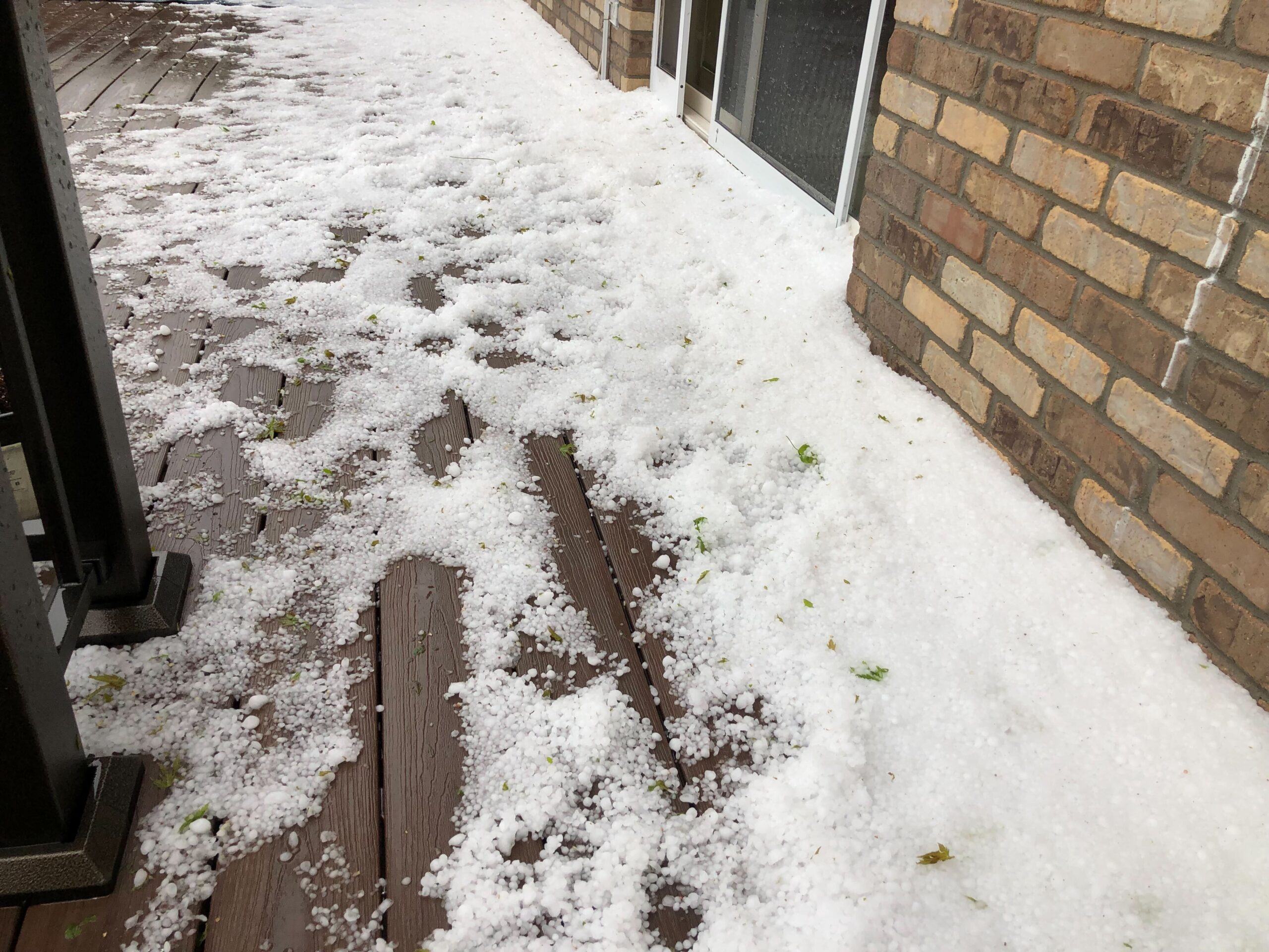
According to the National Weather Service, the forecast calls for four to eight inches of snow at lower elevations of the East Troublesome, Calwood, and Cameron Peak fires. Higher elevations are expected to get eight to 14 inches.
That small amount of snowpack will minimize fire activity, according to NWS meteorologist Russell Danielson.
"But, as we know, fires can kind of maintain inside trees or underneath the snow even, so it won't put out the fire completely," he said.
That's what happened last month with the Cameron Peak fire west of Fort Collins. An early September snowstorm dampened the fire. But a week later, when the weather warmed back up and things dried out, the fire became active again and went on to grow tens of thousands of acres.
At the same time, the snow can also present some obstacles to fighting the fires.
"Snow can definitely be a mixed blessing because it slows down the fire and moderates fire behavior, but it does make access difficult," said David Wolf, fire chief for the Estes Valley Fire Protection District.
The snow can obstruct roads, freeze pumps and even freeze the water crews use to contain a blaze.
"The fact that it's a little bit harder doesn't mean we want to just stay home," Wolf said. "We want to make sure we can get in and be as aggressive as possible to stop this before it gets to the community."
To finally end this fire season, NWS meteorologist Danielson said Colorado would have to see some significant snow to build up snowpack, especially across the forest areas that have dried over the past couple of months from warm weather and low humidity.
Next week, a return of warm weather could leave some areas open to a fire resurgence.
"There are definitely stretches every year where we get low humidities like this, but what really makes things so bad is that the fuels — the forest, the trees, and whatnot — has dried out so much with very little moisture getting into the ground," Danielson said. "That's what is really making the difference and why we have these huge fires."
As of Friday, the East Troublesome fire had burned more than 170,000 acres. The Cameron Peak fire had burned 206,977 acres with 57 percent of the blaze contained. And while the Calwood fire had burned 10,073 acres, Boulder County did get some relief: The Lefthand Canyon fire is now 100 percent contained after burning 460 acres.


