Updated 2:23 p.m.
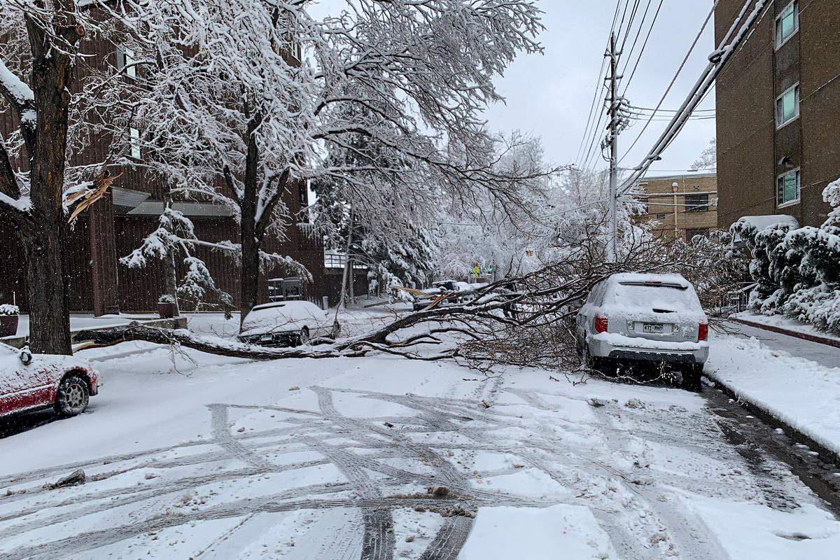
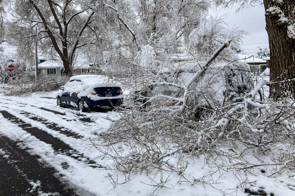
Winter never really leaves, does it? For some, it's a state of mind. For the bulk of the Denver metro that woke up on Friday, it's a wet and snarled commute — with some power outages and broken trees thrown in.
As of a 6 a.m. report, Denver International Airport has 5.7 inches of the white stuff. The larger metro, according to the snowfall map from the National Weather Service, has seen 8.5 inches in Arvada, 8.1 inches in Evergreen, 10.2 inches in Genesee and 8.5 inches up in Nederland. Xcel's outage map says there are 3,750 customers (as of 2:12 p.m.) without power, mostly centered south of downtown Denver and toward the southwest suburbs.
As per the usual when snow socks the Front Range and central mountains, travel conditions can be a bit perilous, especially along Interstate 70. All the usual reminders apply: if you must travel, slow down and give yourself plenty of space to slow and stop with the wet conditions.
Snow is likely to stretch later into the day with an expected low of 27° tonight. The storm is moving to the northeast, bringing an expected 3 to 6 inches of snow that corner of the state and the Kansas border. The forecast suggests it's not going to be a nicer weekend with a slight chance of snow on Saturday and sunny and cooler conditions on Sunday with a high of 56°.

- Your mostly fool-proof guide to driving in a Colorado snowstorm
- Colorado snow shoveling laws, and how to not hurt yourself
- Winter emergency car kit: Make sure you and your ride are ready
- Why "smells like Greeley" means snow is coming in the Front Range
- The science behind why it's so much quieter with snow on the ground


