Updated at 9:53 p.m.
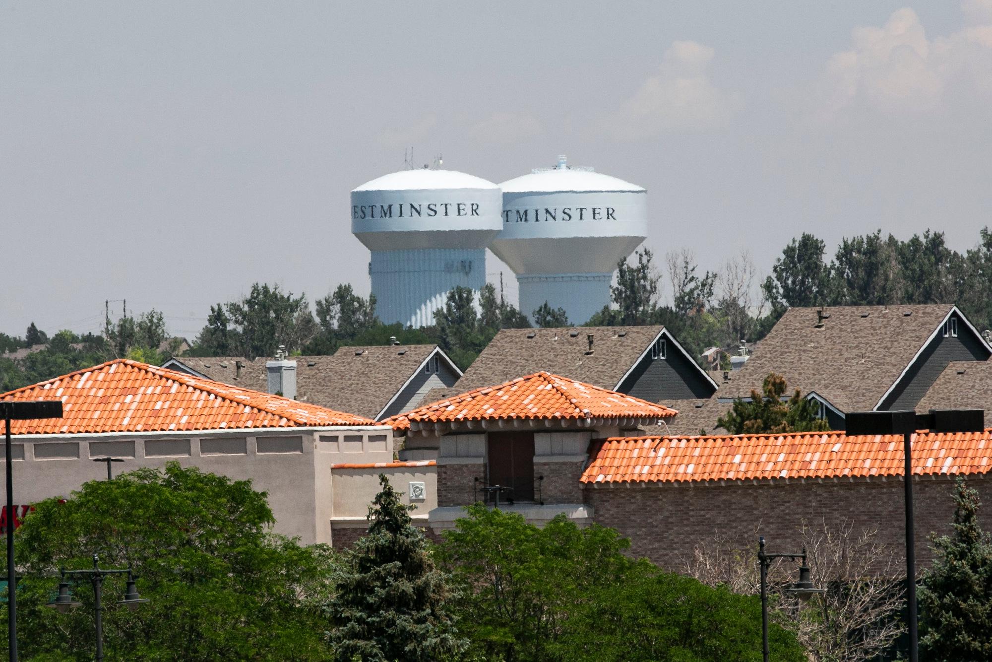
After months of speculation, an independent commission has released a preliminary congressional district map that places the new eighth congressional district in the northern Denver Metro area, encompassing Westminster and stretching up to Milliken.
But if voters were hoping the process would lead to more competition, they may be left disappointed. The new 8th district will favor a Democrat. In fact, on paper, this map only makes one congressional seat fully competitive. This is what the preliminary map looks like:
The 7th congressional district currently held by Democrat Ed Perlmutter would become a seat that favors Republicans by +3. It would set up the possibility of a congressional delegation evenly split between Democrats and Republicans in a state that has swung sharply blue in recent elections.
“(That) is a signal to me that they also overlooked the political realities of our blue state,” said Curtis Hubbard, a Democratic political strategist who worked on the ballot measures that set up the commission. He added the commission staff also acknowledged that their draft may seem to overlook some comments about various potential communities of interest or keeping some counties together or apart. He thinks both of these issues can be addressed during the public input portion of the process.
The Colorado Democratic consultant said the draft map “seems to put a thumb on the scale for Republicans” and encouraged Democrats to participate in the public hearings, which start next month.
Republican consultant Josh Penry, who also worked on passing Amendments Y and Z, said he’d heard from Republicans annoyed that the 4th congressional district would be more competitive since it could contain Pueblo, although in the draft registered Republicans still maintain an 11 point advantage over Democrats.
“The fact that both sides are less than enthusiastic about it is exactly the point,” said Penry. “The overwhelming mandate that the voters gave when they adopted Y and Z was to get the politicians themselves out of the business of drawing maps for themselves and letting a more independent process take control.”
When asked for comment about the map, the Perlmutter campaign didn’t address the possible political change in his current district. “We expect the preliminary map to change over time and we hope the Commissioners will focus on issues of legislative concern and communities of interest as is required under the Constitution,” the campaign said in a statement, while also praising the placement of the new district, which is also near his home.
The map won't stay the same
One thing almost everyone agreed on is that the maps will change.
Hubbard said this is just the starting line. “The process was intended to be heavy on public input and transparency and we’re about to begin that.” There are 32 public hearings scheduled throughout the summer and the final data from the Census Bureau won’t be available before mid-August. All that is expected to re-shape the map.
“It's inappropriate, especially for people on the inside, to start throwing rocks at either staff or the commission,” Penry added. “This commission was reverse engineered to be very fair and to make it basically impossible for one side or the other to game the outcome.”
Kathleen Curry, an unaffiliated consultant who also worked on the campaign, takes a different view of the commission's process; she does not expect the map to change drastically. “I think this going to set the tone for where we end up.” She said the nonpartisan staff worked hard to balance all the requirements and that “deviating significantly” from the draft map would mean that some form of constitutional guidance was minimized.
Aside from creating a new district in the northeast metro area, the biggest changes were in the 3rd and 4th congressional districts, where commission staff went with two purely rural seats.
In a reversal, the San Luis Valley and Pueblo will move from the 3rd to the 4th. In return, the 4th gains counties in the central part of the state, including Teller, Fremont and Chaffee, and even the western part of Boulder County. It would also get some of the mountain ski communities formerly in the 2nd congressional district, including all of Eagle, Summit, Grand and Clear Creek. The district would give Republicans an 11 point registration advantage, but liberal-leaning ski communities would likely contribute both votes and dollars toward Democratic challengers.
This is what the current congressional map looks like:
If the final map stays close to these lines, it would answer a long-held wish of purple Pueblo county to get a new congressional home more connected to its side of the state.
Commission staffer Jessika Shipley stressed this is a preliminary map created using estimated data. “It's never going to be approved by anybody,” she said after Wednesday’s unveiling. “It's simply a baseline starting point for conversations around the state.”
The preliminary map was drafted by state employees to meet specific criteria:
- equal population (or as close as possible), with the goal of each district having 721,714 residents;
- contiguous;
- conforms with the federal Voting Rights Act of 1965;
- preserves whole communities of interest and whole political subdivisions, like counties, cities and towns;
- be as compact as possible;
- and maximize the number of politically competitive districts.
Ben Schler with Reasonable Districts Colorado, testified on the issue of competitiveness to the commission in the weeks leading up to the preliminary release of the map; that’s the issue his group hopes to get them to prioritize.
He defines a competitive district as the “reasonable possibility” that the seat could change parties at least once within a ten-year redistricting cycle. Currently, only one of Colorado’s seven districts — the sixth district on the eastern and southern sides of the Denver area — meets that criterion, while only two districts — the sixth and the third — had races that came within 10 points over the past 10 years.
Schler acknowledged this draft map makes it unlikely that many of the seats will change hands. But that might be in part because of how the commission chose to measure competitiveness: by looking at the results of the 2018 Colorado Attorney General’s race, which Democrat Phil Weiser won by about six points.
“My organization would like to probably take a little wider look at election results from a larger swath of elections over the last several election cycles in order to make sure that we're really getting a solid picture of what competitiveness means here in Colorado.” Reasonable Districts Colorado plans to dig deeper into the estimated data the non-partisan staff used.
The creation of the independent commission was an attempt by voters to take the partisanship out of this very political, and often contentious, process. Legislative attempts in the recent past to create a congressional map end up with the state Supreme Court adjudicating the final lines in most cases.
