Updated Tuesday 9:12 a.m.
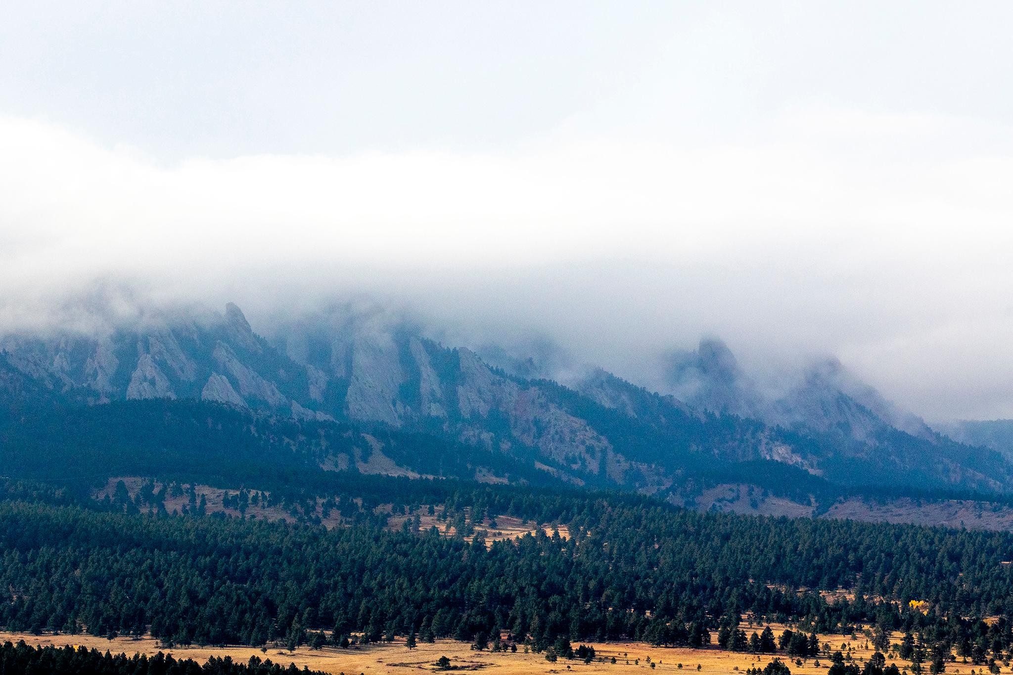
Smoke is still in the air across Colorado, but the weather might allow for some improvement overnight. The National Weather Service forecasts afternoon and evening storms across Colorado, with strong winds and possible thunder. That may help reduce the smoke in some areas.
Potential rain may cause flash flooding in areas near burn scars from last year’s major fires. Forecasters advise travelers to be prepared for potential delays or mudslides if traveling near flash flood zones.
Our original story follows below.
State officials have issued an air quality health advisory for several counties, including Denver, Boulder and Summit, due to wildfire smoke that’s blown into Colorado from western states.
Temperatures in the western United States have already reached record levels this summer. The most recent heatwave started ramping up in late June and has contributed to fires in nearby states. The National Weather Service said smoke visible across Colorado has mostly come from those fires.
In southern Oregon, the Bootleg fire has grown to over 153,000 acres, forcing evacuation orders for nearby residents. It burned about 8 miles of a high-voltage power corridor that supplies electricity to California. The fire nearly quadrupled in size on Sunday and is zero percent contained.
Several smaller wildfires in Idaho and northern California are also contributing to Colorado’s hazy skyline.
Federal forecasters estimate the smoke will continue through at least Tuesday. Air quality across Colorado is mostly moderate, with some areas, like Aspen, reaching hazardous levels for sensitive populations. Those with heart disease, respiratory illness, and of old or very young age are especially vulnerable to illness caused by smoke. Health officials advise people to stay inside if smoke is thick in their neighborhood.
While there have been several minor wildfires in Colorado this year, none have reached the historic heights of last summer’s fires. National Weather Service meteorologist Zach Hiris in Boulder said that with the Western Slope hitting record high temperatures and suffering from extreme drought, it’s only a matter of time until wildfire activity increases across the state.
“I think the biggest potential for fire weather is probably in the Western Slope, but as we start to get further in the summer and we get into this drier pattern that we've been seeing here on the east slope too, it's really going to be a statewide thing, where we're going to be concerned about fire danger for the rest of the summer,” Hiris said.
Southern Colorado is faring slightly better than the rest of the state, with the smoke largely being trapped in the upper atmosphere, according to NWS Pueblo's Kyle Mozley.
"Right now it's going to remain anchored over the Four Corners area, so we're kind of getting that northwest flow across Colorado. So the potential for smoke to be around for the next week or so is going to be on the elevated side," Mozley said.
Fire seasons are, on average, 78 days longer than they were in the 1970’s, according to a recent report by the Colorado Division of Fire Prevention and Control. Research shows human-caused climate change fuels warmer, drier conditions and more intense drought, which in turn causes an uptick in extreme wildfire behavior.

