Updated at 2:30 p.m. on Feb. 21
After a couple days of spring-like weather, a multi-day cold front will bring subfreezing temperatures to much of the state. A few inches of snow could fall along the Front Range by Thursday, with even more in parts of the high country.
Temperatures will drop sharply Monday night, with metro Denver and many central mountain communities experiencing single-digit lows and highs in the teens. That cold snap will persist until Thursday, according to the National Weather Service.
Snow is expected, but it won’t be like previous winter storms this month for most of the state. NWS meteorologist Robert Koopmeiners said snowfall will be relatively light and infrequent throughout the week.
“Maybe four inches of snow for that whole plus 48-hour period,” he said. “There's not a lot of moisture with the air mass that's coming in.”
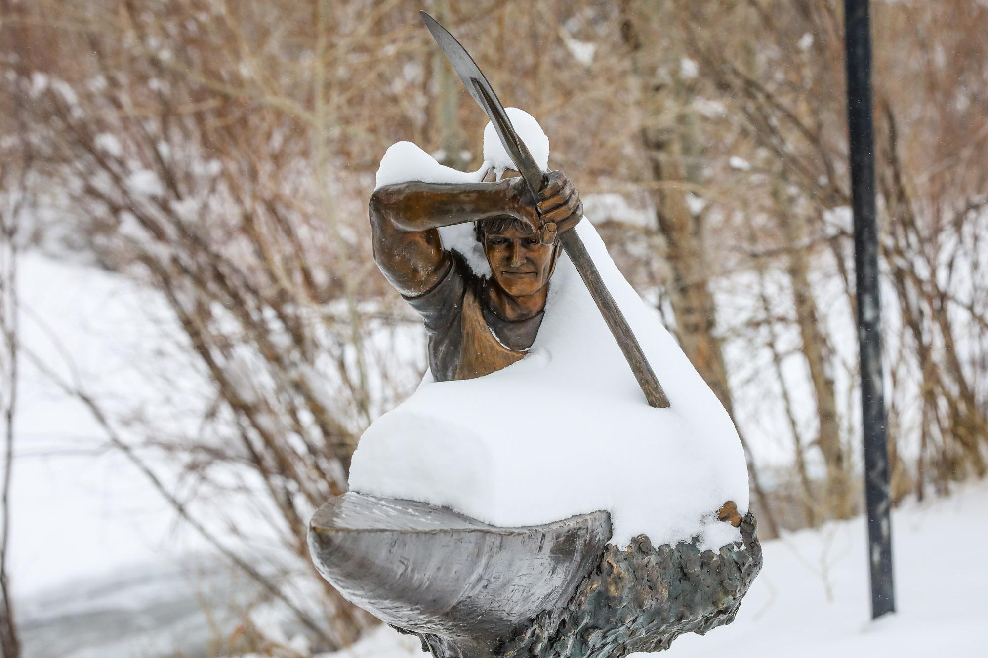
However, some ski towns, such as Telluride and Aspen, are forecasted to receive up to 18 inches of snow during the cold front.
The state’s average snowfall for the season recovered after a slow start, thanks to heavy winter storms in January and February. However, the state is still seeing widespread drought conditions, something the upcoming snowfall will not impact.