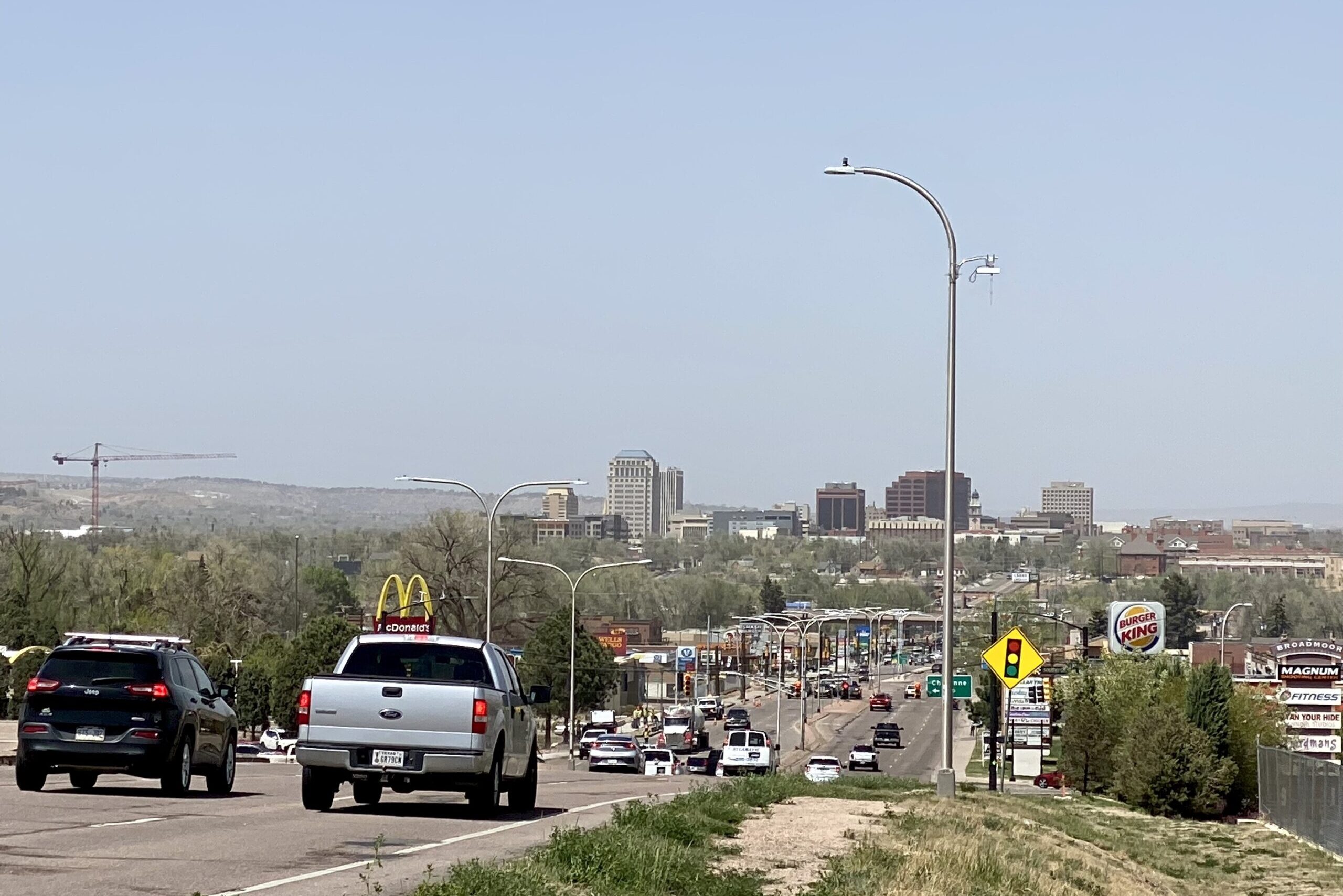
The high winds and dusty skies seen across Southern Colorado Monday should moderate this evening and into the next couple of days before picking back up late in the week, according to the National Weather Service.
Kyle Mozley, a National Weather Service meteorologist based in Pueblo, said wind gusts in the region reached speeds of more than 80 miles per hour early Monday near the Sangre de Cristo and Wet mountain ranges. Those winds lessened later into the afternoon but were still leading to hazardous driving conditions along the southern half of the state’s Interstate 25 corridor.
As for the noticeable tan haze in the sky, Mozley said it’s largely composed of dust from northwest New Mexico.
“It’s probably highly correlated to the lack of rainfall [in the region],” Mozley said. “Even though we did have a little bit of rain in the Pueblo area and along the I-25 corridor last week, it’s been dry and it’s been windy. So, that tends to suck all that moisture out of the surface and it just dries it out and makes it prone to blowing around.”
April and May are typically two of Colorado’s wettest months. However, April has already gone down as the driest on record in some regions, and most of Colorado remains in a state of moderate or severe drought.
Mozley urged residents to stay vigilant in avoiding activities that could cause a spark, as the high winds exacerbate already extreme wildfire conditions.
He added another, similar storm storm system is expected to pass north through the region later in the week which could bring another round of windy and dusty conditions.


