Snow and freezing temps are expected along the Front Range Thursday after a day of relatively warm, springtime temperatures on Wednesday.
Temperatures are expected to reach the mid-to-upper 60s along the Interstate 25 corridor today, with some parts expected to exceed 70 degrees.
The National Weather Service forecasts a high of 70 in Denver, some of the warmest weather recorded so far this year in the metro area.
Pueblo will see a high of 73, according to the NWS.
On the Eastern Plains, specifically in communities along I-50, temperatures may reach as high as 75 degrees.
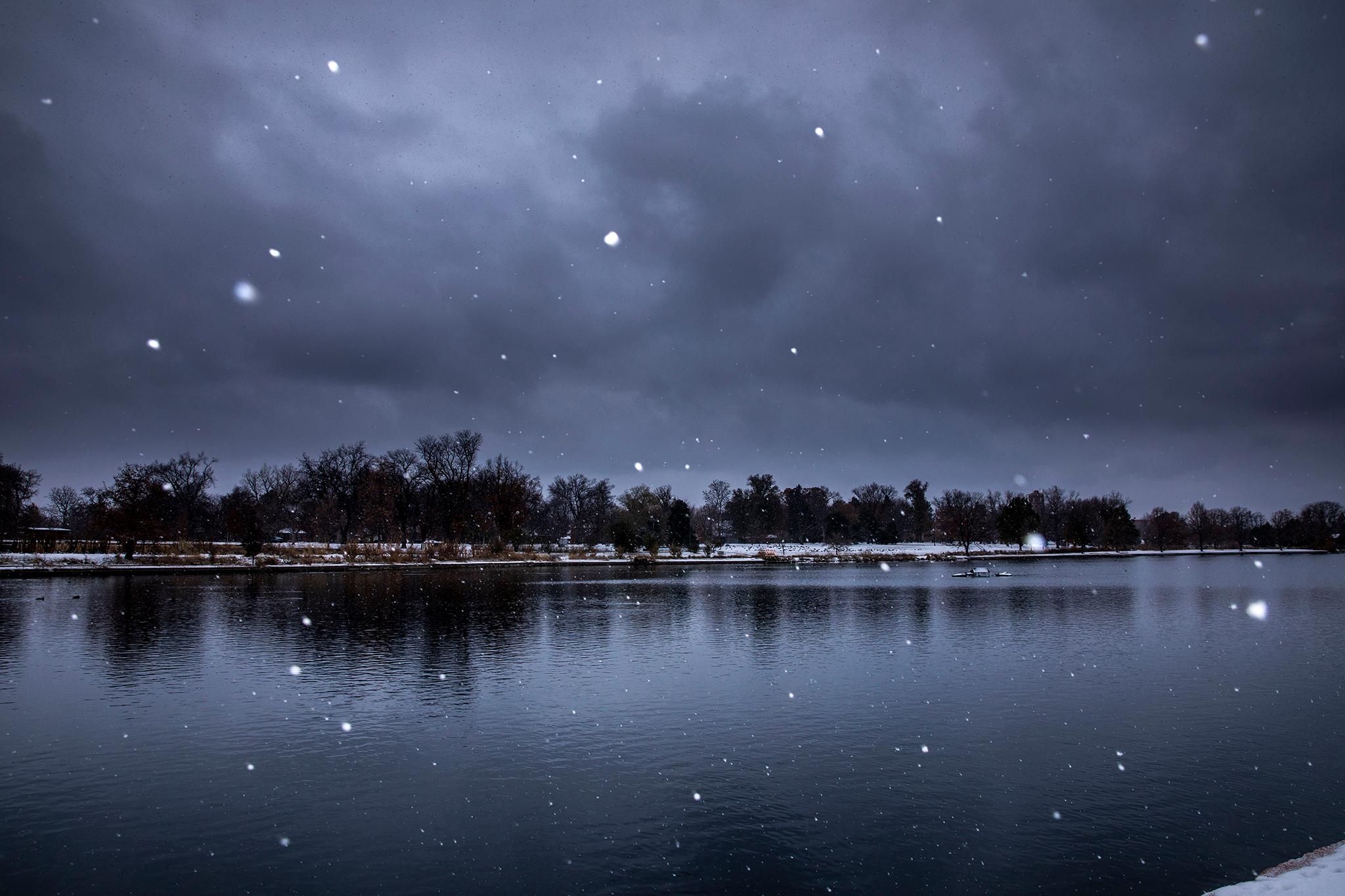
That springtime weather won’t last, though, as another winter cold front sweeps through Colorado starting early Thursday morning. Highs will once again drop to the lower 40s across the Front Range, with lows expected to drop below freezing.
Those conditions will bring a chance of snow, although the NWS is unsure how much of an impact snow, if any, would bring to metro areas experiencing warm weather on Wednesday.
“Road temperatures in Denver thanks to today's ‘heat’ will likely be warm enough to limit impacts. However, foothill locations could be another area of concern with colder temperatures there and more snow possible in the foothills along/south of I-70 possible,” a NWS forecast said.
Most areas in the Front Range are expected to get a couple inches of snow at the most. Most snowfall will be focused on mountainous areas. In Southern Colorado, the Wolf Creek Pass is expected to receive a minimum of two feet of snow through Thursday. Areas along I-70 could see between four to six inches of snow.
Meanwhile, the Western Slope will have no such springtime weather to bask in before snow starts. Areas bordering eastern Utah, including Grand Junction, have seen lower temperatures this week than their Front Range counterparts.


