A spring weather pattern is expected to bring more moisture to communities across Colorado on Thursday and last through the weekend.
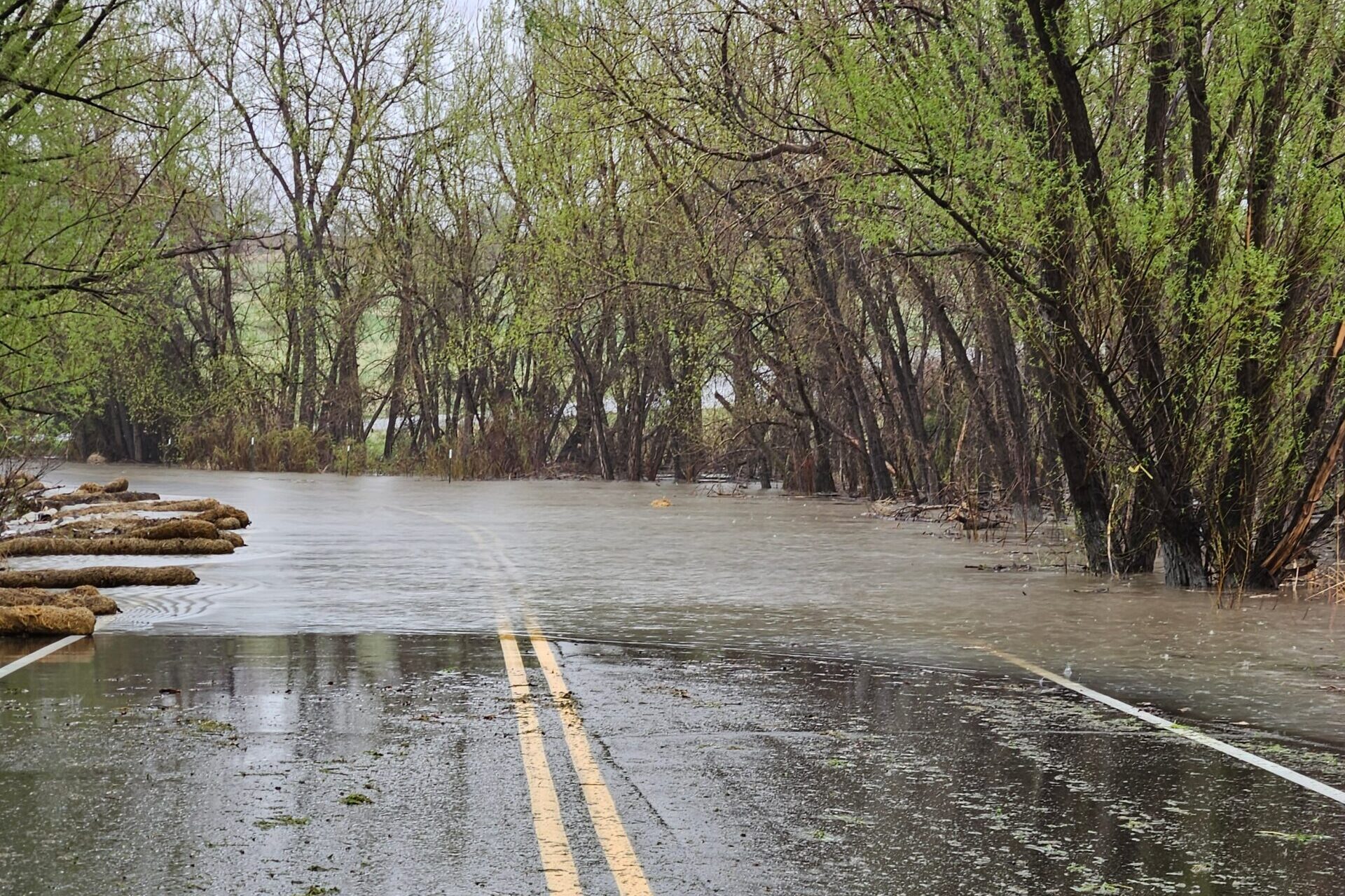
Possible scattered showers are in the forecast for the Front Range, mountains and Eastern Plains every day through Sunday. Thunderstorms and potential flash flooding, especially near wildfire burn scars, are expected to develop Thursday afternoon and evening, according to the National Weather Service.
“There’s potential for a few of the showers to have some heavy rain and strong, short downpours with them,” said Chad Gimmestad, a forecaster with the NWS. “We could get some strong thunderstorms out on the plains.”
Forecasted rain totals vary around the state. Stronger storms could produce hail, gusty winds and localized flooding. But there’s not a major threat of severe weather or flooding, Gimmestad said.
The rain comes after an unusually wet winter for much of the state. Snowpack levels are above average in many areas. Many mountain reservoirs and rivers are already seeing high amounts of runoff, causing flooding in some Western Slope rivers.
Early spring has seen more moisture than usual for many areas thanks to a trough of low pressure that’s been sitting and spinning over the middle part of the United States for the past several weeks.
Last week, Denver broke a record for the rainiest May 11 in city history, recording 2.92 inches at Denver International Airport.
Even though the past 10 days have been especially wet in Colorado, May is typically the rainiest stretch of weather ahead of drier summer months, Gimmestad said.
“It’s something that happens every few years that we’ll get a bunch of rain within a week or so,” he said. “This is where a big part of our rainfall in the Front Range comes from and it’s a substantial part of our water for the year.”
Temperatures should warm up this weekend, Gimmestad said.
“It’s going to be a little warmer and drier, but we’re going to have a few thunderstorms sticking around,” he said.
High temperatures for metro Denver on Thursday will hover around 60. Highs in the mountains in Western Slope will stick in the mid-50s.


