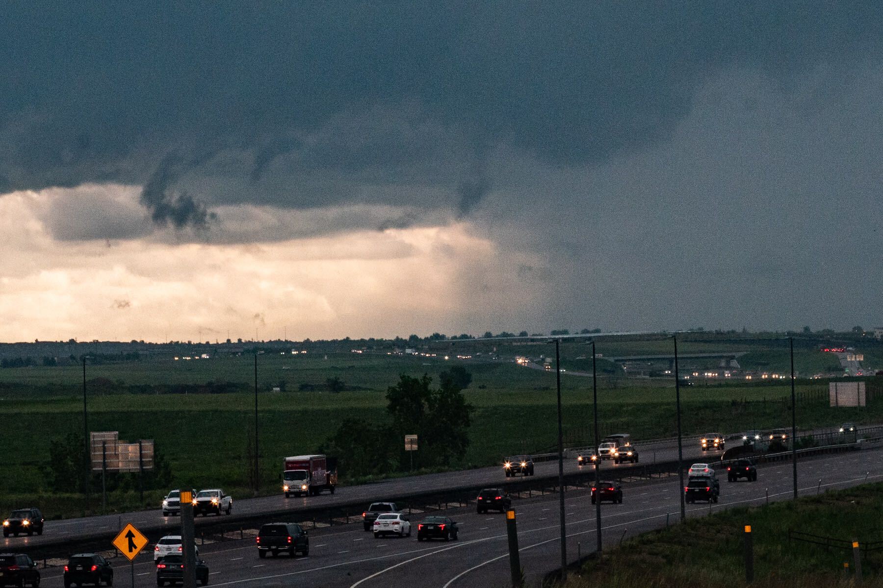
A ridge of high-pressure air parked east of Colorado has produced record amounts of rainfall for many Front Range communities in June.
With 5.23 inches of rain recorded at Denver International Airport so far this month, it's been the rainiest June in Denver since the 1880s, according to National Weather Service data. Greeley and Colorado Springs have also logged record amounts of precipitation at 4.37 inches and 9.47 inches, respectively.
Thunderstorms, fueled by moisture from air over the Gulf of Mexico, have turned dangerous at times. A fast-developing storm cell unleashed golf ball-sized hail on Red Rocks concertgoers this week.
Rain flooded several roads and bridges in Elbert, Arapahoe and Douglas counties Wednesday night. One person also died in rural Arapahoe County when a stream of stormwater swept their car away.
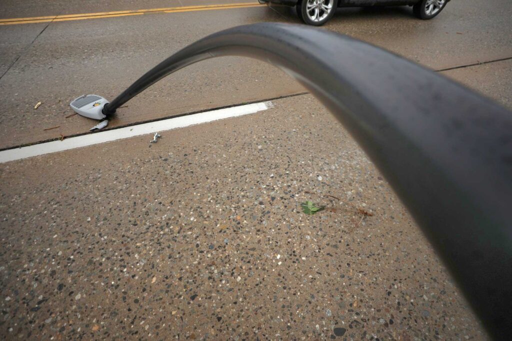
An EF-1 tornado that spun off from the storm traveled more than six miles across Highlands Ranch, unrooting trees, knocking over fences and bending streetlights.

Local authorities made a disaster declaration to help with cleanup efforts.
A block of lower-pressure air in the atmosphere just west of Colorado has helped fuel the steady stream of rain and storms, said Scott Entrekin, NWS meteorologist. But it’s beginning to dissipate, which means drier air from the southwest is moving over the state.
“That’s pretty much cut off our rain chances here through early next week,” he said.
Other Front Range communities have received near-record amounts of rain due to the wet weather pattern.
Evergreen and other Front Range foothill communities have logged a lot — around 4.52 inches. That’s just shy of a June 1949 record of 4.87 inches.
Fort Collins has seen about 5.19 inches so far in June, which is about an inch shy of its record set in 1949.
Farther south and west, the month has been drier.
Pueblo is about halfway to its all-time June record of 6.55 inches of rain set in 1921.
And Grand Junction, Steamboat Springs and Gunnison have seen less than half of the totals their June records are at.
The Denver metro can expect to dry out by next week, when temps are expected to top out in the mid to high 80s.
“It’s gonna be a lot drier, more normal summer weather from here on out,” Entrekin said.


