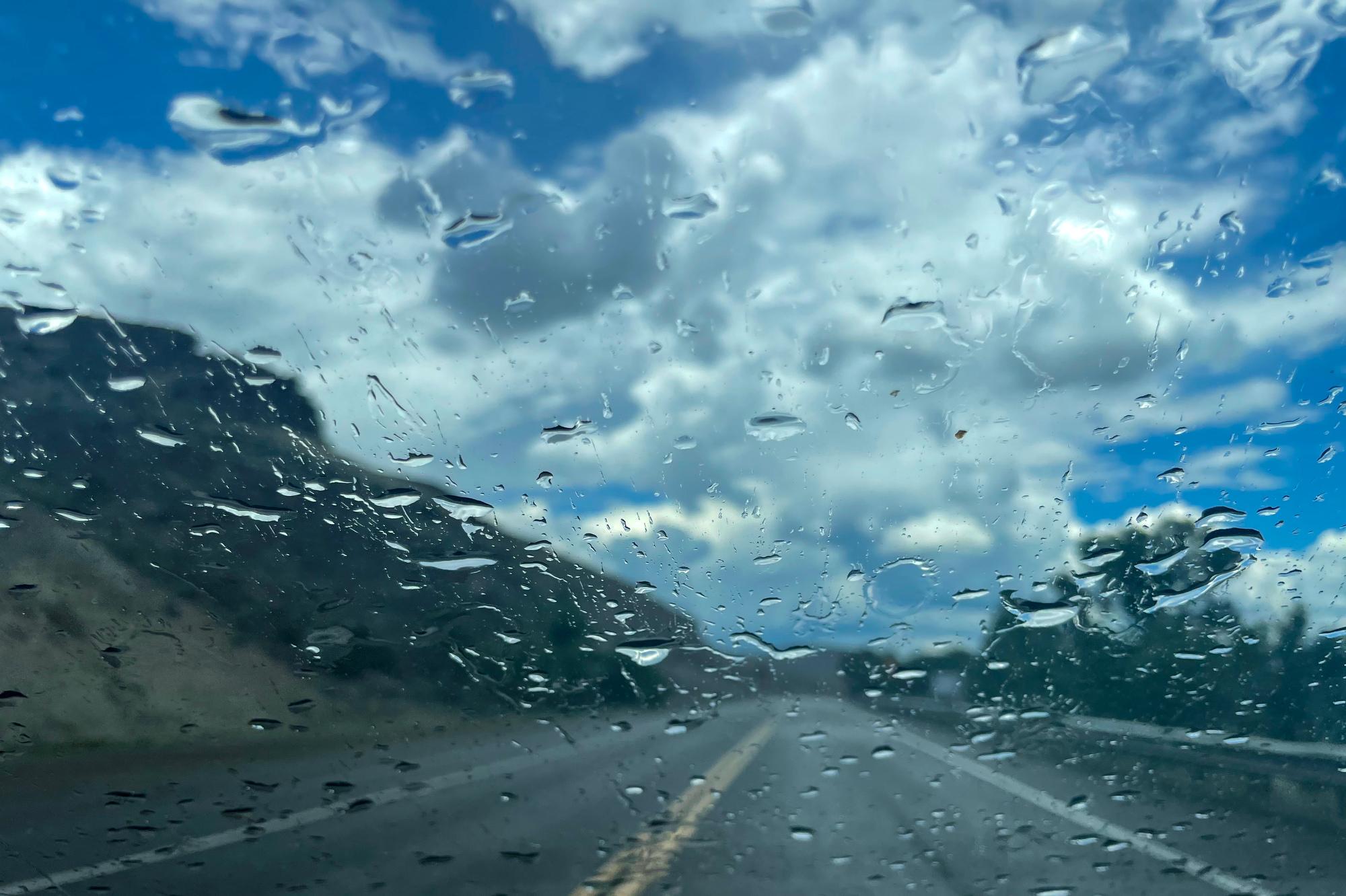
Colorado’s summer monsoon is a few weeks late this year, but it’s here — and could more than make up for its slow start, federal meteorologists said.
Heavy rains are expected to start today and linger across the state through Wednesday. The National Weather Service has been tracking the seasonal pulse of moisture that begins in the Pacific Ocean and the Gulf of Mexico and is carried by winds across the Southwest, where it’s lifted by Colorado’s mountains and turns into rain.
The wave of monsoon moisture moving into Colorado early this week is expected to move very slowly: 10 mph instead of 30 to 40 mph. The monsoon will dump a lot of rain on parts of the state that have already experienced an unusually wet spring and early summer, said Greg Heavener, the warning coordination meteorologist with the National Weather Service in Boulder.
“That’s kinda where we see the flash flood threat really begin to increase,” he said.
Heavener said some areas could see up to two inches of rain falling in less than 30 minutes, which is intense enough to flood city streets or turn a wildfire burn scar into a dangerous debris flow. The Colorado Water Conservation Board has issued an alert of a moderate flooding risk for residents in a dozen northwestern Colorado counties, including the Denver metro.
Current weather models suggest the rainstorms will taper off as temperatures drop on Thursday and Friday, but Tuesday and Wednesday could be wet and hazardous.
“Really, the next 48 to 60 hours are probably our biggest impact for the monsoon rains this week,” Heavener said.


