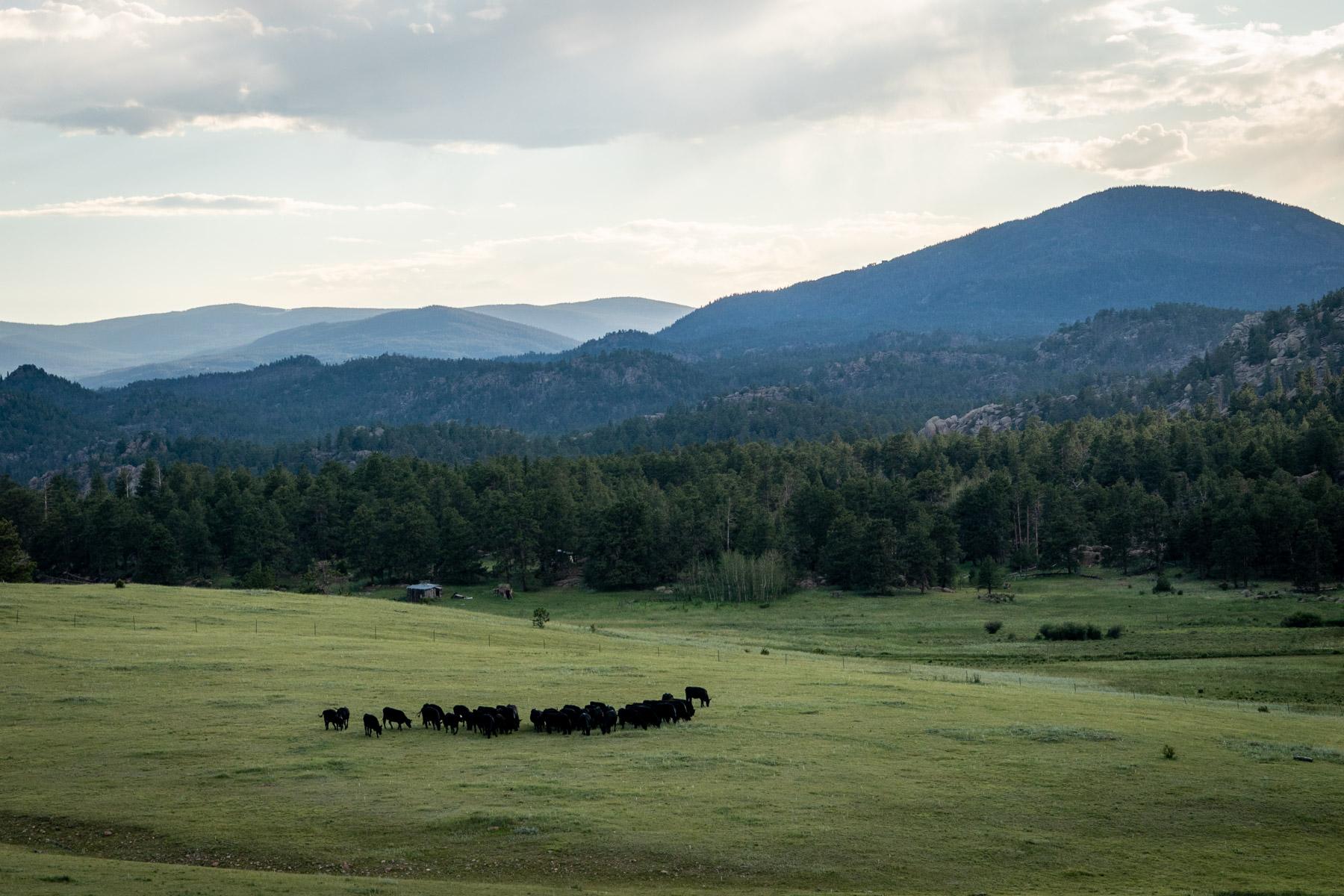
It’s beginning to feel more like autumn, as cool, cloudy weather lowers temperatures across the Front Range and the mountains.
Forecasts for this week project highs in the 60s and 70s for communities along the I-25 corridor.
During the late afternoons and evenings, temperatures will drop off into the mid-50s. There are expected to be scattered, light rainstorms that peak on Monday, but have potential to return later this week.
Temperatures have already dropped at Colorado’s highest elevations, leading to some early snow accumulations.
It will take some time for Western Slope communities to cool down. Grand Junction will see temperatures in the mid-80’s through Wednesday. Cloud cover is expected to start cooling the area down by mid-week, with rain likely coming Thursday.
The National Weather Service said there will be a limited threat of flash flooding in burn scar areas this week.

