Weather across Colorado will be warm and calm this week, with high temperatures expected to sit in the low-to-mid 80s for both the Front Range and Western Slope.
The Denver metro will see chilly mornings for the foreseeable future, but temperatures during the day will warm up to the low 80s through Friday. Chances of rain and thunderstorms are relatively low Monday — however, there’s a higher chance for storms to develop in the late afternoon over the foothills.
The only outlier this week will be Tuesday, which will see slightly cooler temperatures than the rest of the week, with a higher chance of showers along the I-25 corridor. Rain that does develop will likely arrive in the evening.
“Additionally, storms and showers may cross the [Continental] Divide into the plains by Tuesday evening,” a National Weather Service forecast said. “These storms will likely become isolated and remain sub-severe.”
Colorado Springs is expected to have temperatures in the mid-to-high 70s for the week, but the further south you go, the hotter it will get. Pueblo will see high temperatures in the 80s throughout the week.
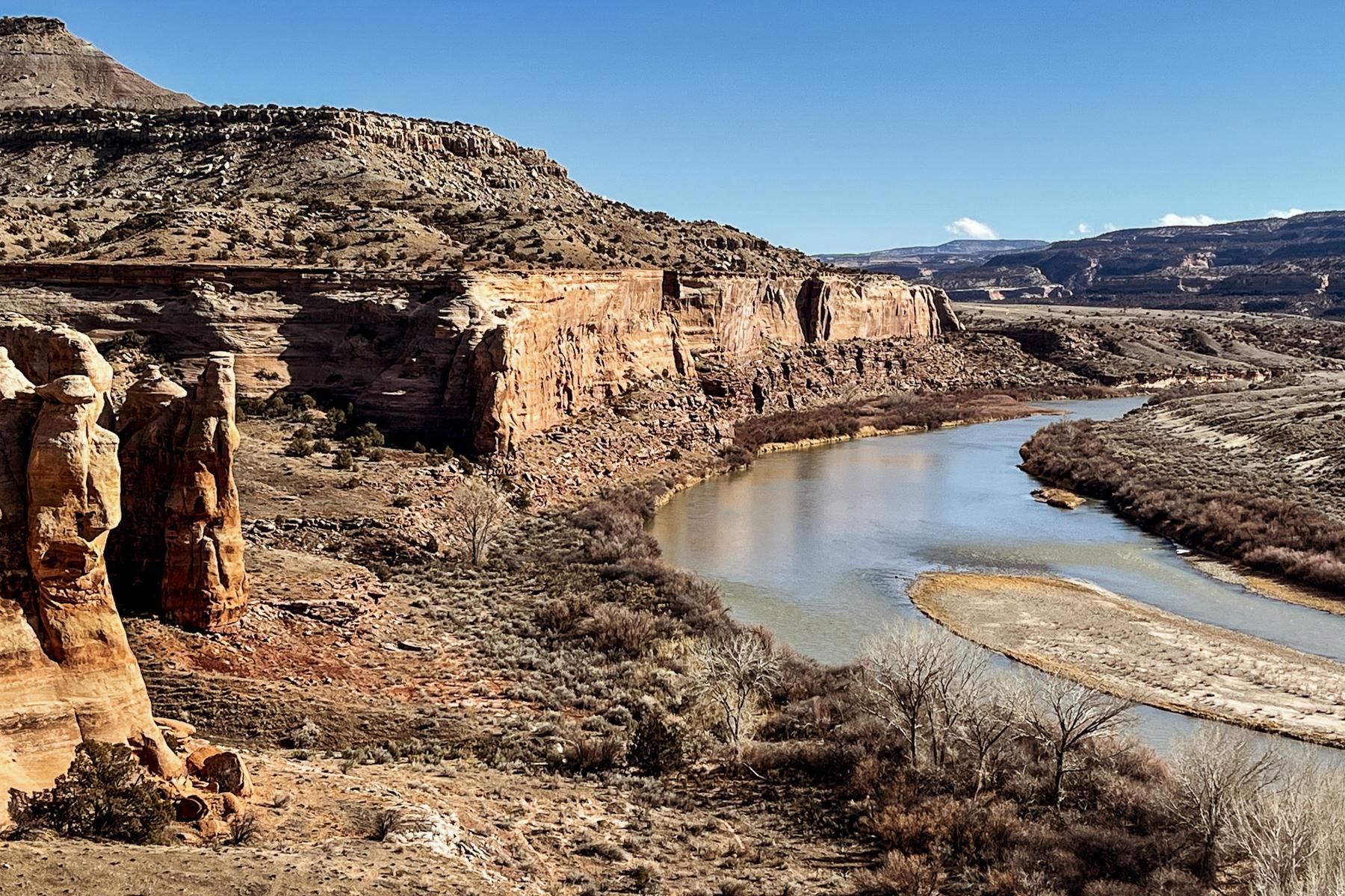
Grand Junction will have a more sustained period of warm weather, with low-80-degree high temperatures expected through the week. This weekend is expected to bring a brief lull, with high temperatures cooling down to the low-to-mid 70s, but warmer temperatures are expected to resume next week.
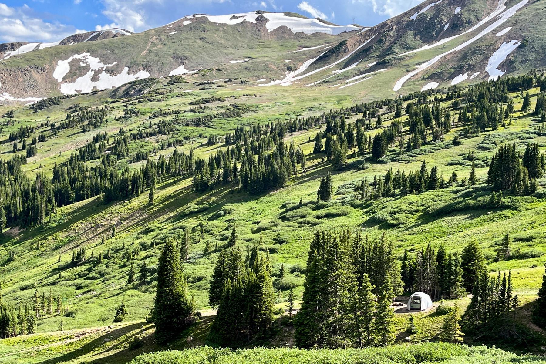
Mountain communities will continue to experience cooler temperatures than the rest of the state. While parts of the Rocky Mountains, including the newly renamed Mount Blue Sky, La Veta Pass and the Four Corners Region, saw four to eight inches of snow accumulate over the weekend, chances of precipitation this week are lower across the board.

