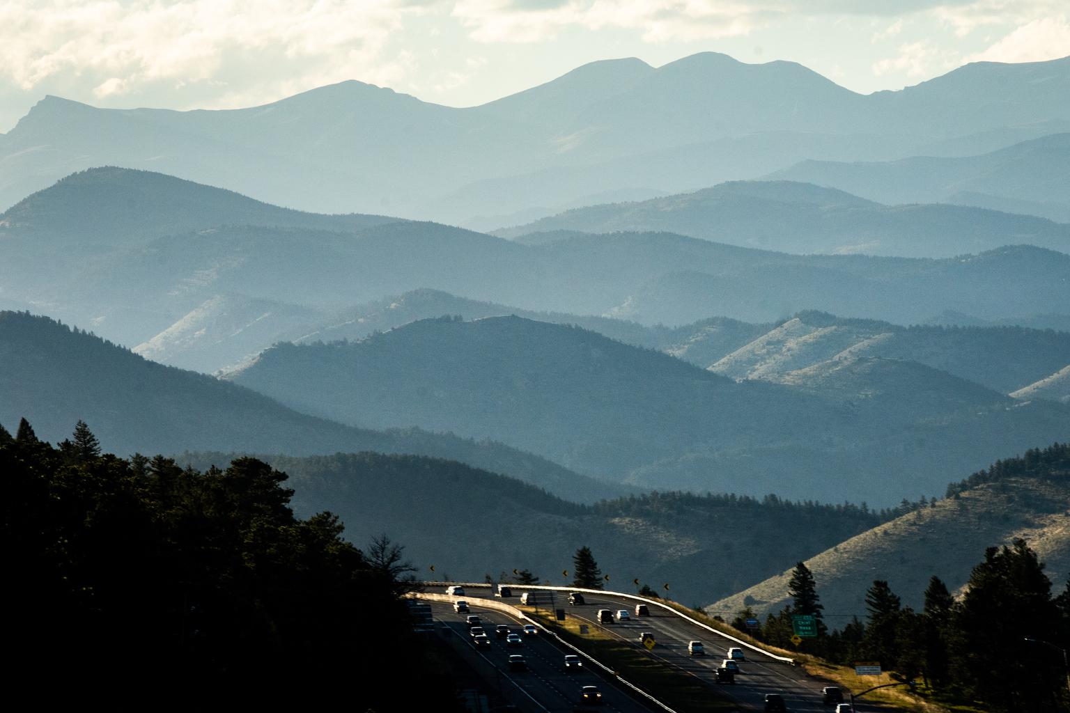
Warm weather will continue through the weekend across most of Colorado, bringing critical fire conditions to the Western Slope.
The National Weather Service’s red flag warning stretches from the Colorado-Wyoming border down to Montrose. Gusts of wind up to 30 miles per hour and low humidity will make it easy for fires to start and spread in the area.
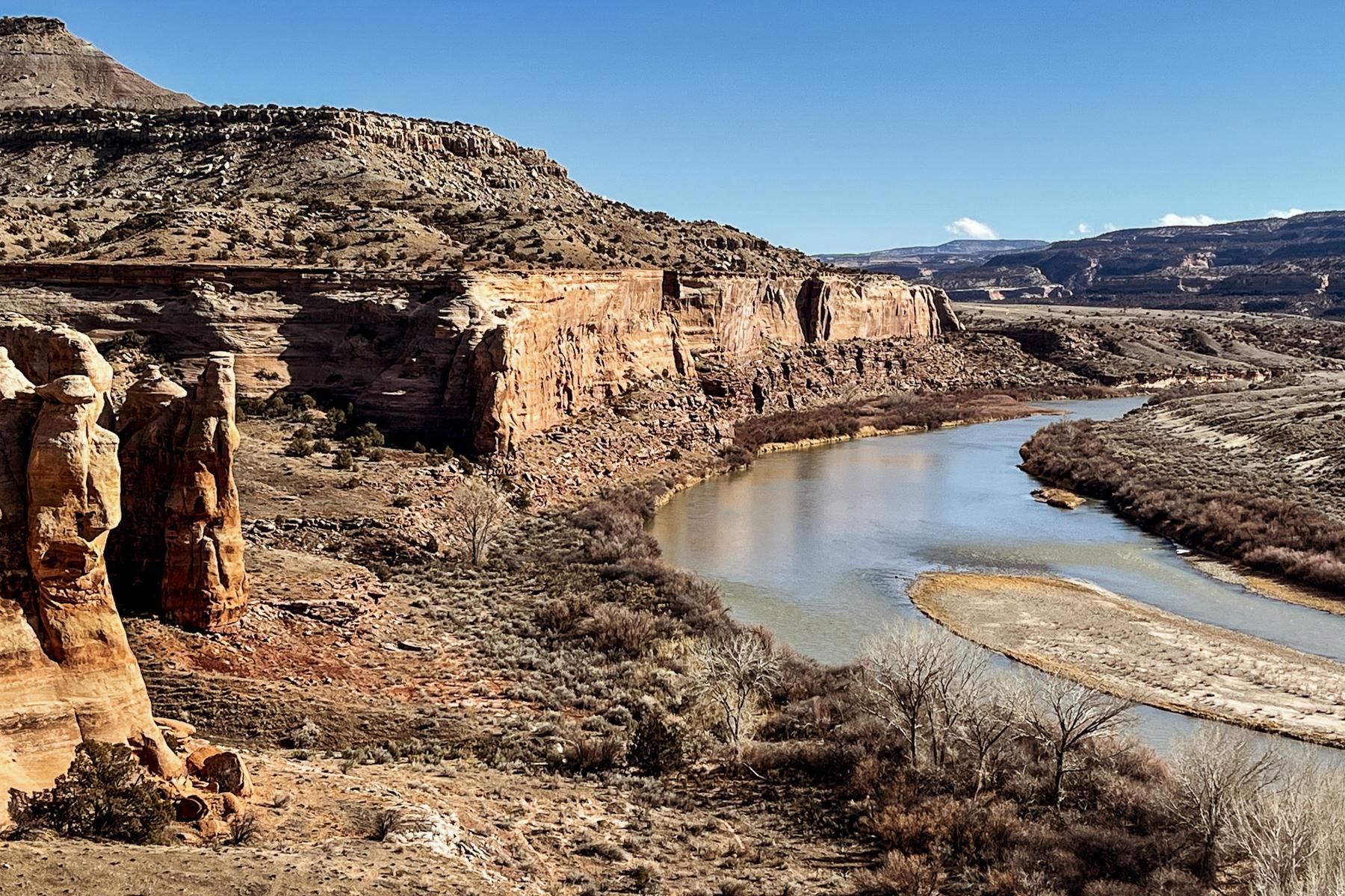
While heavy rain temporarily erased all drought conditions in Colorado earlier this year, the Western Slope is facing abnormal to severe drought conditions once again. Fire season is expected to be longer in areas facing drought.
Denver and other parts of the northern Front Range will continue to see temperatures in the high 80s, with conditions expected to cool down starting early next week.
In Southern Colorado, conditions will reach “near critical fire weather” for the I-25 corridor between Woodland Park and Trinidad, due to moderately high winds and low humidity. The Eastern Plains and some mountainous areas, including Salida, Pagosa Springs and Gunnison will experience the same.
The NWS expects a statewide drop in temperatures as September comes to a close. Highs across the state are expected to plummet toward the middle of next week, with temperatures sitting in the high 50s to low 60s.

