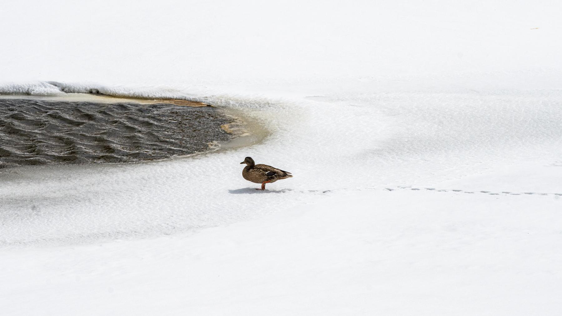
It may be early fall, but a little preview of winter is passing through Colorado this week, bringing snow and frigid temperatures to the state’s highest peaks.
After a warm start to the week, a cold front has hit the state, bringing temperatures down to the 60s and under along the Front Range. In some urban areas, the first freeze of the season is expected to hit Friday night.
The cold front brought snow to mountainous parts of Colorado overnight Thursday, according to National Weather Service data. Many towns along Interstate 70 got between 2 to 4 inches of snow overnight. The area just north of Glenwood Springs is reported to have received 12 inches of snow.
Adverse, wintery conditions are expected to continue through Friday. A winter weather advisory has been issued for high elevation areas, warning of snow accumulations between 4 to 12 inches, strong gusts of wind and dangerous travel conditions.
Along the Front Range, snow is not expected for the foreseeable future. NWS data shows the average first snow date in Denver is October 19. Last year, the first measurable snowfall in Denver arrived on Nov. 4.
Further south, the entire spectrum of Colorado weather can be seen. Due to high winds, relatively warm temperatures, and low humidity, Pueblo and the surrounding area are experiencing critical fire conditions. The NWS warns any spark can produce a fast-traveling fire.


