Colorado’s streak of above-average temperatures is expected to end this weekend as a cold front moves into the state. The front will bring freezing weather and snow, according to the National Weather Service.
The Denver metro is forecast to get two to six inches of snow from Thursday into Friday. Communities in the foothills and central mountains could see more, said Caitlyn Mensch, a forecaster with NWS.
“There’s a pretty good chance that we will see some snowfall for most areas, probably on the lighter side,” Mensch said. “The ingredients aren't really all coming together for a large snowstorm right now.”
The winter storm will dump between 1 to 2 inches of snow in Colorado Springs, according to the NWS. Grand Junction should see a similar amount, Mensch said.
Thursday's weather should be mild for most communities during the day. The NWS has issued a wind advisory for the Front Range mountains and foothills through the evening.
Temperatures will start to fall into the 30s and below across the state that night. Snow will begin in the mountains and will likely reach the Denver metro early Friday, according to the NWS.
The storm could bring Denver’s first measurable snowfall of the month. Several storms have blanketed metro communities so far this winter, and mountain snowpack is at normal levels so far.
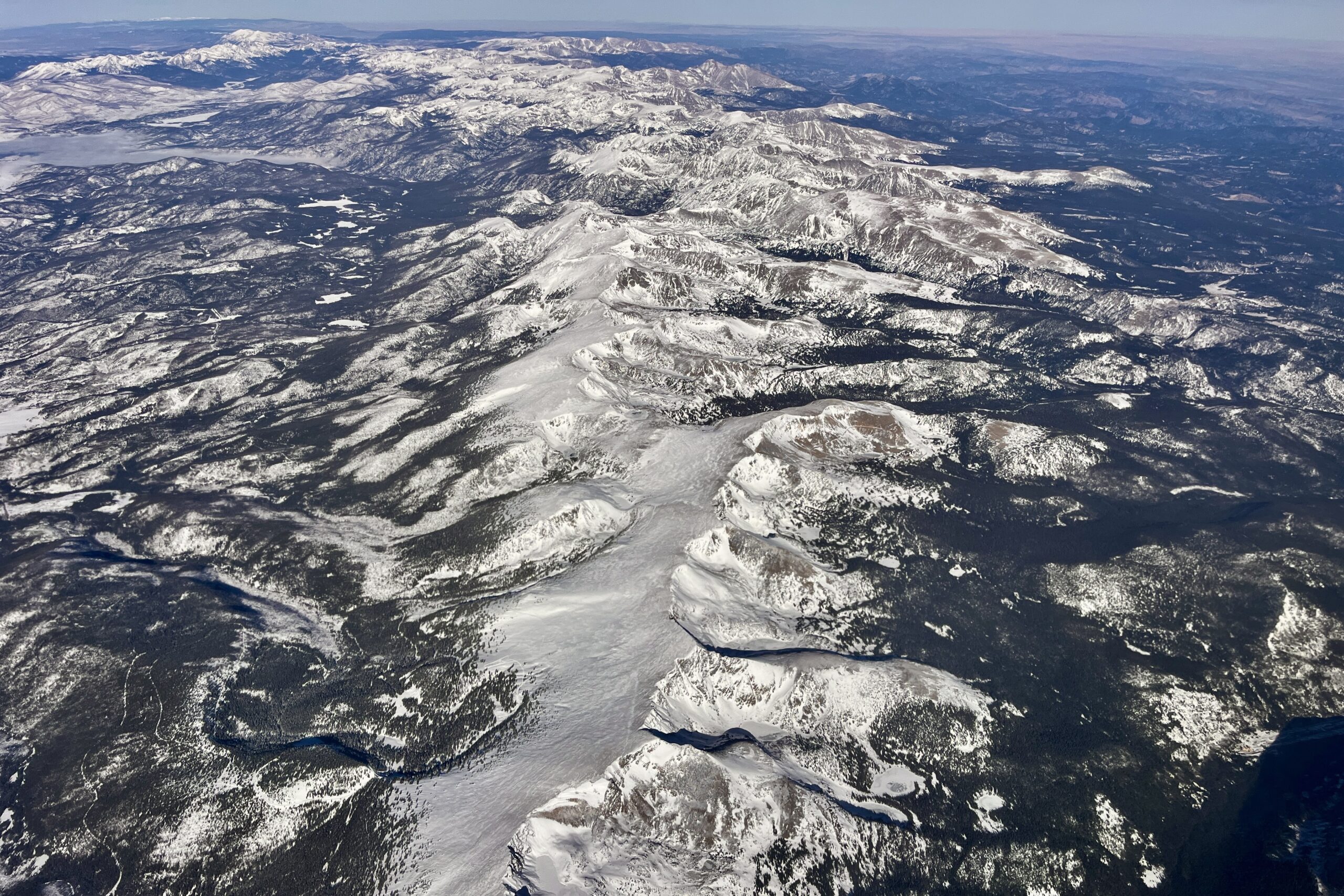
Avalanche danger is elevated in many mountain ranges, according to the Colorado Avalanche Information Center. The center lists many slopes near or above treelines as having “considerable” risk, which means recreators could easily trigger slides.
The incoming winter storm should taper off by Friday night. Most communities should see sunny skies and above-freezing temperatures return on Saturday.

