After a prolonged period of subfreezing temperatures and snowy conditions, it appears inclement weather in Colorado is slowing down.
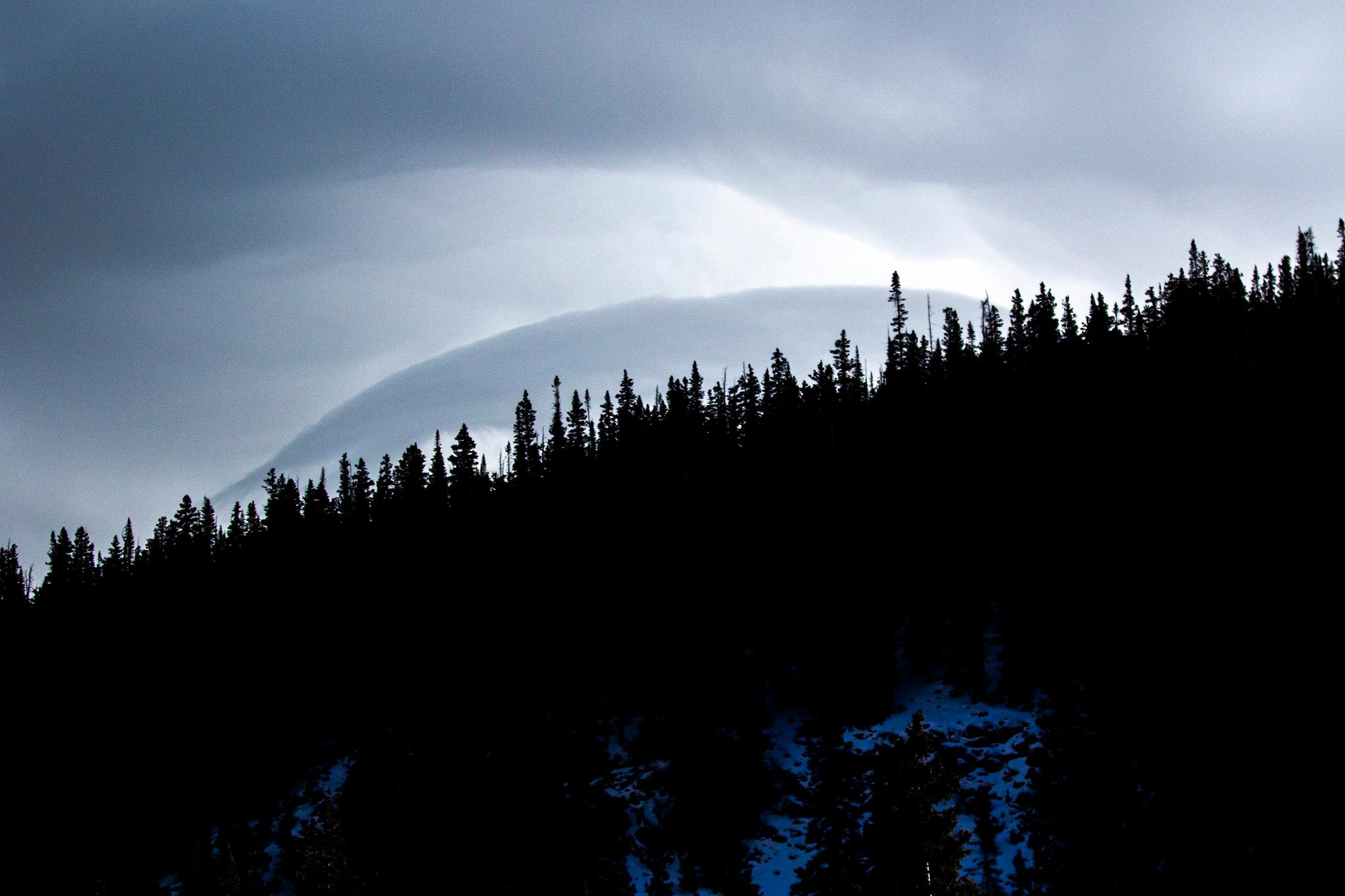
Traces of winter weather will persist in the mountains Monday. The National Weather Service said afternoon snow showers will be likely in Park, Summit and Mesa counties. Snow amounts of up to 2 inches will be possible in mountainous regions.
“A few heavier showers could produce a quick accumulation of around an inch in an hour, most likely across the highest elevations,” a NWS forecast said. “Locally slick conditions will thus be possible at times, primarily for roadways in Park County as well as Hoosier Pass, with a lower impact potential for I-70. Overall accumulations will be on the light side however.”
A storm system that will mainly impact Utah could potentially hit the Four Corners region, bringing light snow on Tuesday.
The Front Range will likely see relatively warm, above-average temperatures in the high 40s and low 50s. NWS forecasters said these conditions are likely to persist for the foreseeable future, however there is some uncertainty over a system that could potentially bring more snow to the region.
“The timing of the precipitation greatly varies and is light on all the ensemble,” the NWS said, referring to the collection of weather models it uses to predict the weather.
A major cold snap hit Colorado last week, bringing subfreezing temperatures, icy roads and snow to most of the state. The snap broke Tuesday, after causing several school closures, road closures and travel delays, as well as worsening avalanche conditions in mountainous areas.


