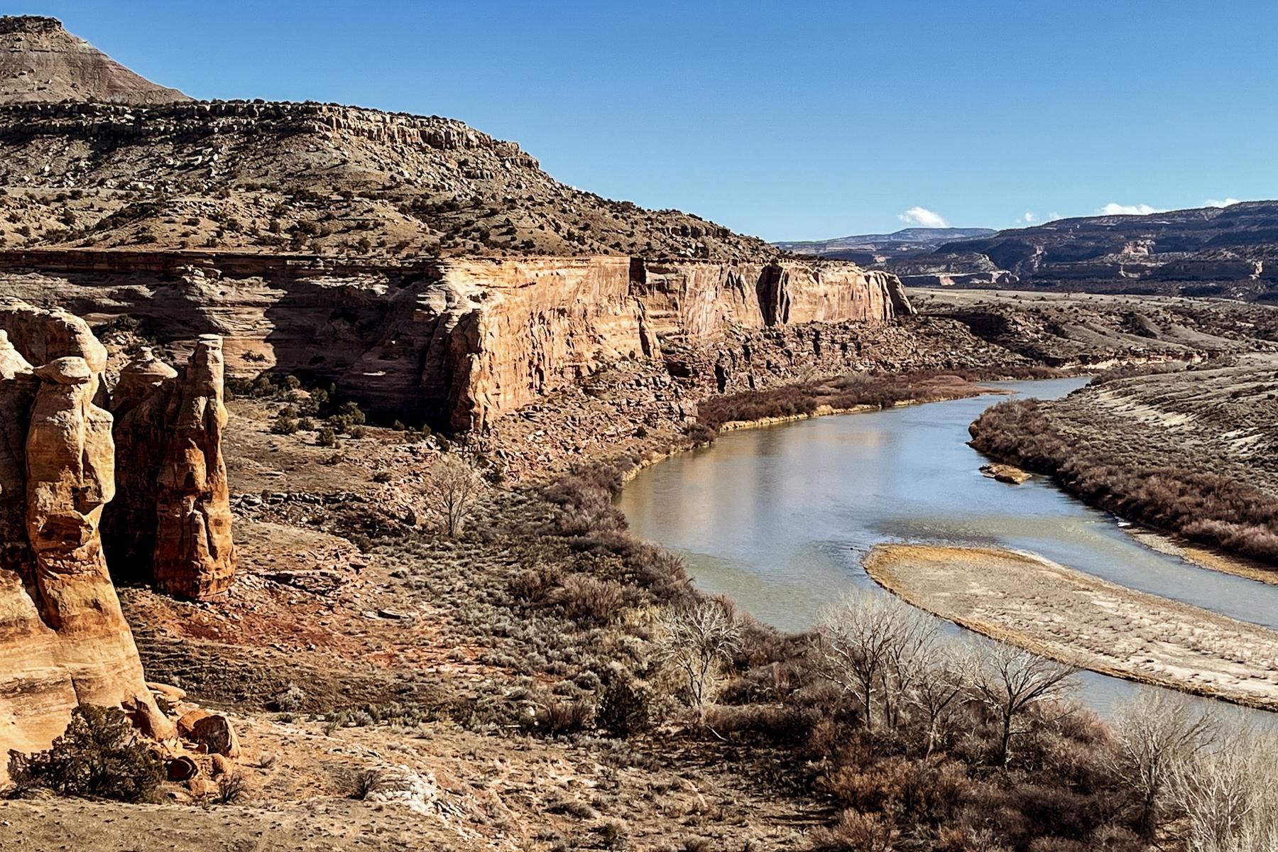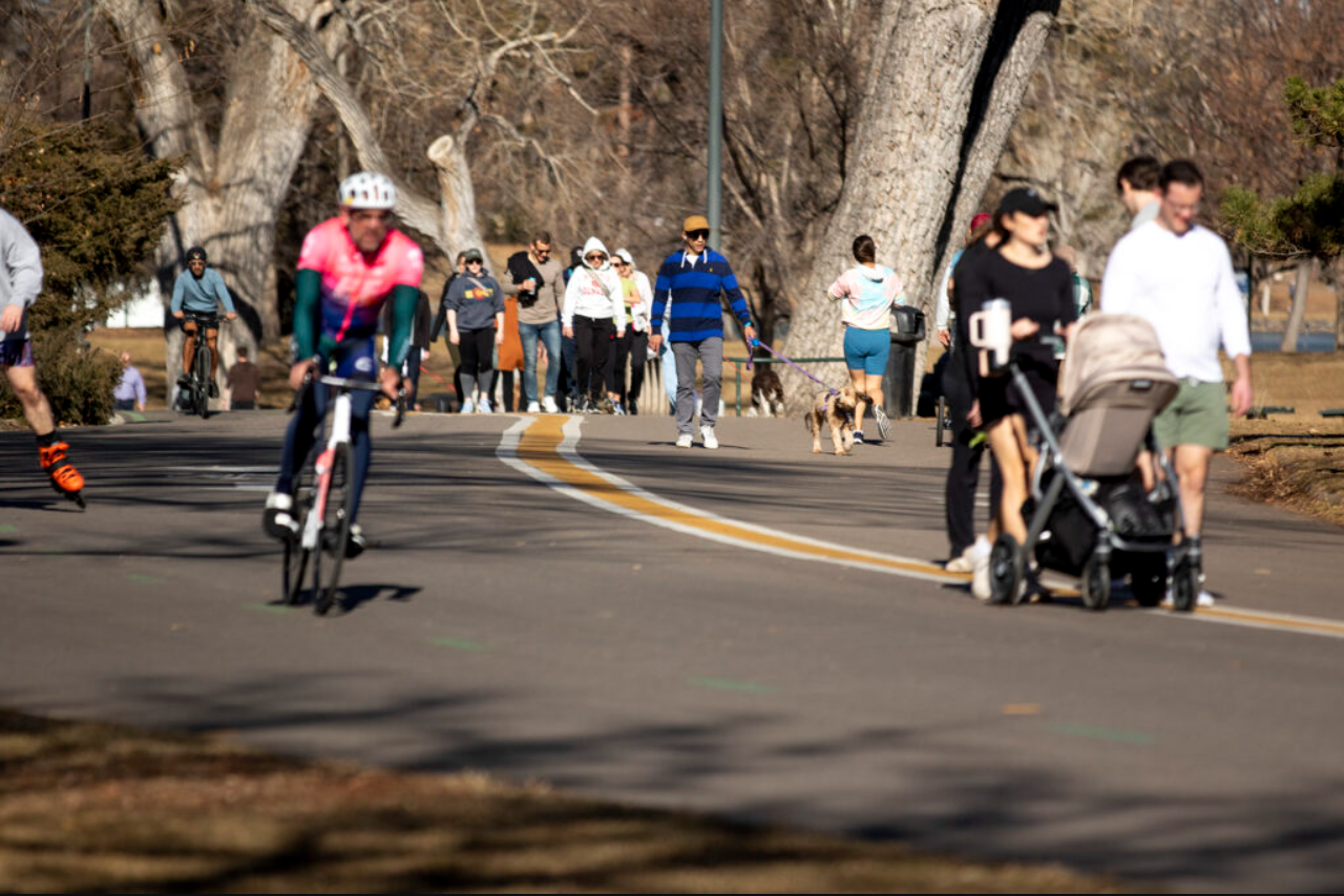
“False spring” has returned to parts of Colorado, as relatively warm temperatures move in after a period of winter weather.
High temperatures across the Front Range, Southern Colorado and the Eastern Plains will sit in the low-to-mid 60s through Friday. Grand Junction and the surrounding area will also see higher-than-average temperatures, with highs in the upper-50s.
National Weather Service meteorologist Ayesha Wilkinson said those temperatures aren’t record-breaking, but are still noteworthy.
“We're going to be about 10 to 15 degrees above normal during this period,” Wilkinson said. “Some places across the plains could reach the mid sixties now through Thursday afternoon, so pretty warm across the area.”
Mountain communities are also seeing higher-than-normal temperatures. While the average temperature of most mountain towns in January is in the mid-20s, high temperatures could reach the low 40s this week.
The fair weather isn’t expected to last, though, Wilkinson said. Temperatures are expected to drop again statewide beginning Friday as a storm moves into the area. Wilkinson said NWS forecasts are imprecise at the moment, but that storm could bring rain or snow to much of the state.
“To simply put it, there's quite a few things that will make the system more favorable for snow. If we get colder air from the north, that'll really help. But right now it's looking like we could start seeing rain showers mainly in the metro area,” Wilkinson said.
The storm is expected to hit the Western Slope earlier than the rest of the state, with colder temperatures settling into the area Thursday.

