This post was updated at 1:25 p.m. to reflect the expanded winter weather advisory.
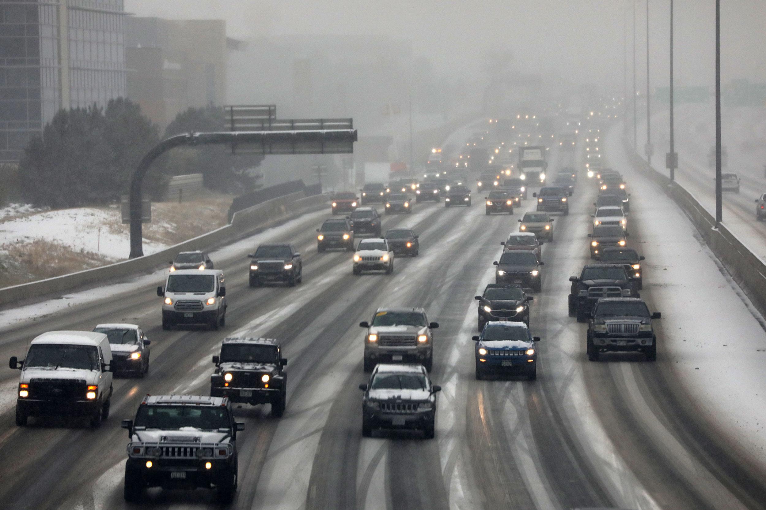
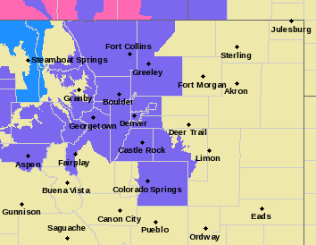
A winter weather advisory is in effect for the front range and Colorado’s high country Friday, delivering excellent ski and snowboard conditions and slick roads.
The advisory for the Denver metro area is in effect from 4 p.m. on Friday until 2 a.m. on Saturday, with snow predicted between 5 and 10 p.m. Accumulation up to, or exceeding, 6 inches is possible in some areas, according to the National Weather Service.
“There's definitely some good powder up there (in the mountains) this morning from last night's snow,” said Paul Schlatter of the National Weather Service in Boulder.
Breckenridge is reporting 9 inches of snow in the past 24 hours, while Aspen/Snowmass has about 7 inches on the ground. Winter Park and Keystone have each gotten 6 inches. Vail and Steamboat got about 5 inches.
The Colorado Avalanche Information Center has issued an avalanche warning for the Park Range, north of Steamboat.
“Travel in, near, or under avalanche terrain is not recommended Friday morning through Saturday night,” the warning stated.
Schlatter said snow may also hit the Front Range in the early to mid-afternoon on Friday, which “could make for a slick evening commute across most of the area.” Denver, Fort Collins and Colorado Springs could all see 1 to 4 inches of snow by the end of the day.
However, starting Saturday, “the snow should shut down pretty much everywhere, mountains and plains,” he said, “and then the weekend looks really nice,” with sunshine and highs near 40 on Saturday and the low to mid-fifties on Sunday.
“Monday looks excellent,” Schlatter said, with temperatures pushing 60 degrees.

