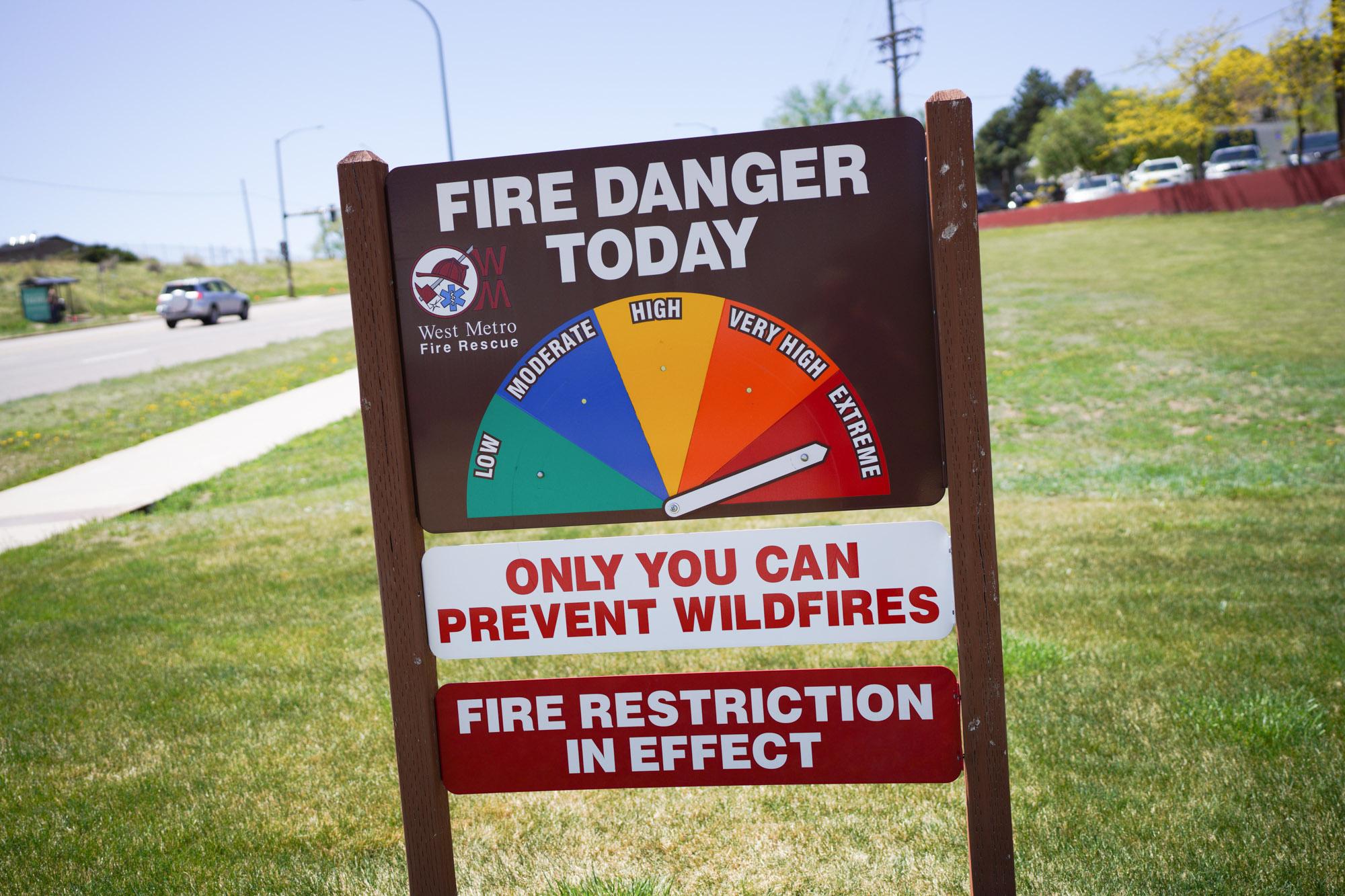
The recent run of warm, spring weather will continue Monday, as officials warn of ideal fire conditions on the Front Range.
The National Weather Service said much of the Eastern Plains and Southern Colorado will experience high winds, warm temperatures and low relative humidity Monday, which could create ideal conditions for fire to spread quickly. Residents are advised to avoid anything that can create a spark, as dry fuels could ignite easily.
For the Denver metro area and northern Colorado, winds will be relatively strong, but weather officials say humidity in the region will be higher and fuels are not as susceptible to ignition. Gusts up to 45 miles per hour could be possible, with the strongest winds expected in the Fort Collins region.
Meanwhile, a winter storm is approaching the mountains on the Interstate 70 corridor, with snow expected to begin Monday afternoon. Between 6 to 18 inches is expected to fall through Tuesday afternoon across the region, with the highest totals likely to fall at extreme altitude. Travelers should expect mountain roads to be slick and hazardous, with blowing snow conditions likely.
Snow is not likely to fall on Colorado’s urban communities, but rain and possibly thunderstorms could arrive by Tuesday afternoon. Those enjoying the warm weather should savor it, as temperatures are expected to drop across the state starting Wednesday.


