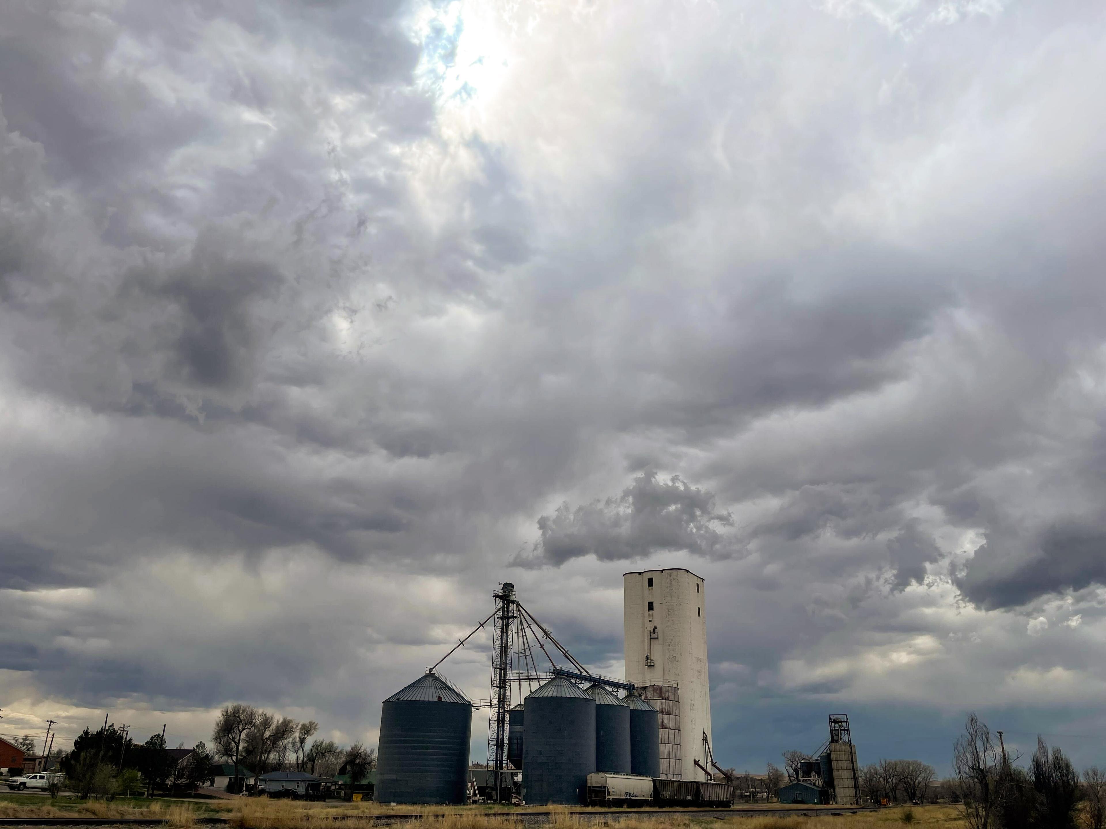
Updated at 8:04 p.m.
An overnight cold front has paved the way for a stormy start to the week in the eastern half of Colorado.
The National Weather Service is warning that damaging hail, thunderstorms and tornadoes are possible along the Front Range and on the Eastern Plains starting Monday, around 3 p.m.
“It's going to be probably more than just one storm, probably be a couple of storms that can produce all three of those hazards impacts at the same time,” meteorologist Greg Heavener with the Denver forecasting office said.
On Monday afternoon, the weather service issued a tornado watch for a seven-county region in northeastern Colorado. Around 7 p.m., the storm system intensified and the federal forecast office started issuing tornado warnings — a public alert that tornadoes have been seen or are appearing in weather radar — for locations in that region, including Akron, Otis, Planter and parts of Morgan and Washington Counties.
No tornado damage has been reported.
Heavener said the storm system is expected to develop over the northeast Denver metro area and begin moving across the plains as the afternoon progresses. Severe weather from the storm is likely to dissipate overnight, with rains and cooler temperatures expected to persist through Wednesday morning.
In southern Colorado, Pueblo, Colorado Springs and surrounding regions could see isolated thunderstorms, with “nickel-size” hail and 50 mph gusts of wind, but the threat of tornadoes is expected to be contained to the plains.
Stronger storms are unlikely to develop in the mountains, but there is a chance of snow for Colorado’s highest elevations.
Residents are encouraged to prepare for extreme weather events. If a tornado does touch down, those in its path are urged to find a safe shelter location, like a basement or the lowest level of a building away from windows.
Joe Wertz contributed to this report.


