Quick! Name the states that border Colorado. We’ll give you a second …
Utah. Yes. Wyoming. Mmm-hmm. New Mexico — bingo! Kansas and Nebraska? Yup.
If Oklahoma came to you last — or didn’t come to you at all — that’s understandable. Only a narrow slice of the Sooner State’s Panhandle touches Colorado. It seems to act as a buffer between Colorado and its cultural rival Texas.
“I’m not too familiar with the history of why Oklahoma has that awkward panhandle, but I do know a little bit about what goes on there and it’s not much, honestly. It’s pretty desolate,” said high school senior Milo Lovejoy.
Lovejoy lives about as close as a Coloradan can to the Oklahoma border — Campo. Population 102.

Despite their proximity to the state line, Lovejoy and his classmates at Campo High School are mostly befuddled by the Oklahoma Panhandle’s existence.
“Unless they just liked cooking out of cast-iron skillets,” joked Jory Billings, who has worked cattle in the Panhandle and singled out good Mexican food in the area.
Lovejoy takes another stab at the region’s origins: “I imagine it has something to do with when they were deciding what states would be slave states and what states wouldn’t be.”
“Not far off at all,” according to Oklahoma State Historian Matthew Pearce, who, incidentally, grew up in Colorado.
Pearce explained that the Panhandle is a political creation.
“It stems in large part from the sectional disputes over slavery in the mid-19th century.”

Before joining the United States, Texas was an independent country that stretched into what is now Colorado and New Mexico. However, under the 1820 Missouri Compromise, slavery was prohibited above the 36 and one-half degrees north latitude line.
“When Texas was added, the boundaries for what was the Texas Republic were reduced, and so that section of what we now have as the Panhandle is that section that’s above the line.”
Combined with the creation of the Kansas Territory in 1854, that left “the tiny sliver of land to its south between Kansas and Texas,” Pearce added. “A 34 by 145-mile sliver, about 5,000 square miles.
Before the creation of the Oklahoma Territory in 1890, the area was often called “no man’s land,” said Pearce, because no one could legally own land within the strip until 1890.
“It doesn’t mean nobody lived there, worked there. People settled, ran livestock.”
For more than a century before the territory was established, the area was a prime hunting ground for the Comanche and Ute nations, primarily bison, Pearce pointed out.
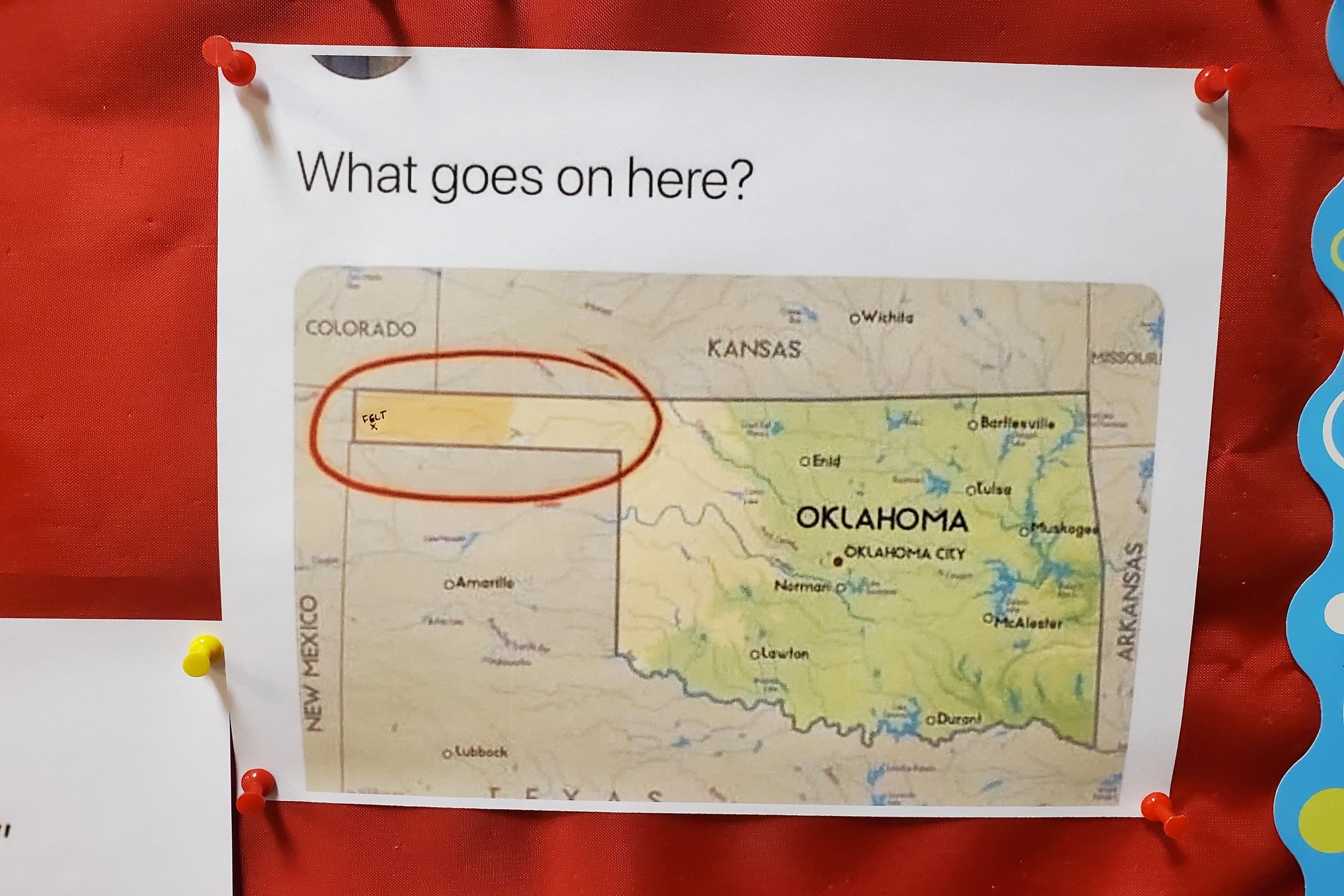
In Pearce’s office, there’s a printout of an internet meme pinned to a bulletin board. It’s a map of Oklahoma. The Panhandle is circled, along with the words “WHAT GOES ON HERE?”
The question is not difficult for Pearce to answer. “With the Panhandle today, you see the rise of the pork industry. You see increased immigration of Mexican workers and other workers from Latin America.”
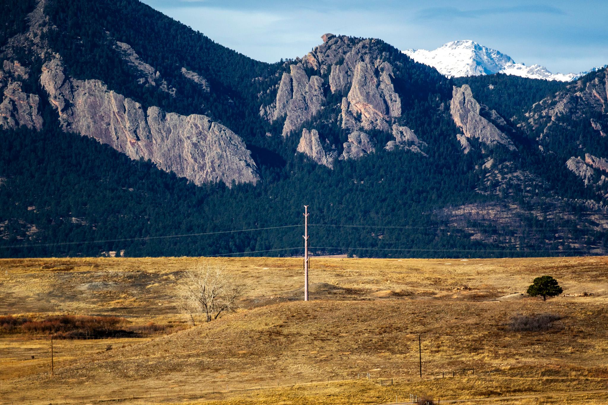
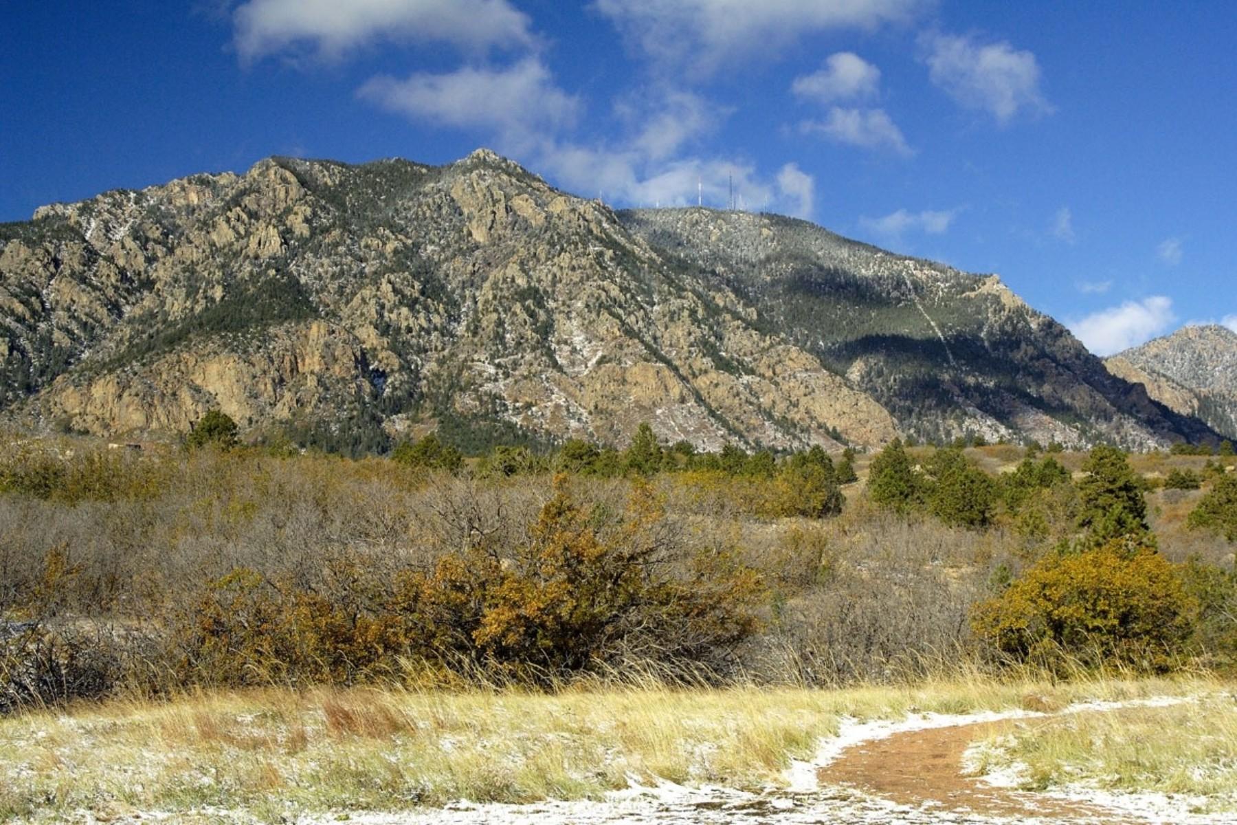
The three-county region also boasts Oklahoma’s highest point, Black Mesa, 4,973 feet. “It's one of those places where, geographically, the High Plains collide with the Rocky Mountains,” Pearce said.
The mesa — typically the driest and coldest location in Oklahoma — is about as close as the historian can get to his native Colorado without driving across the state line.

Editor's Note: A previous version of this story misstated the elevation of Oklahoma’s highest point.