
Colorado’s first fall weekend could be cool, soggy and snowy in some areas.
A low-pressure storm system packing moisture from the Gulf of California is developing over the Southwest desert and tracking toward the state, said David Barjenbruch, a meteorologist at the National Weather Service in Boulder.
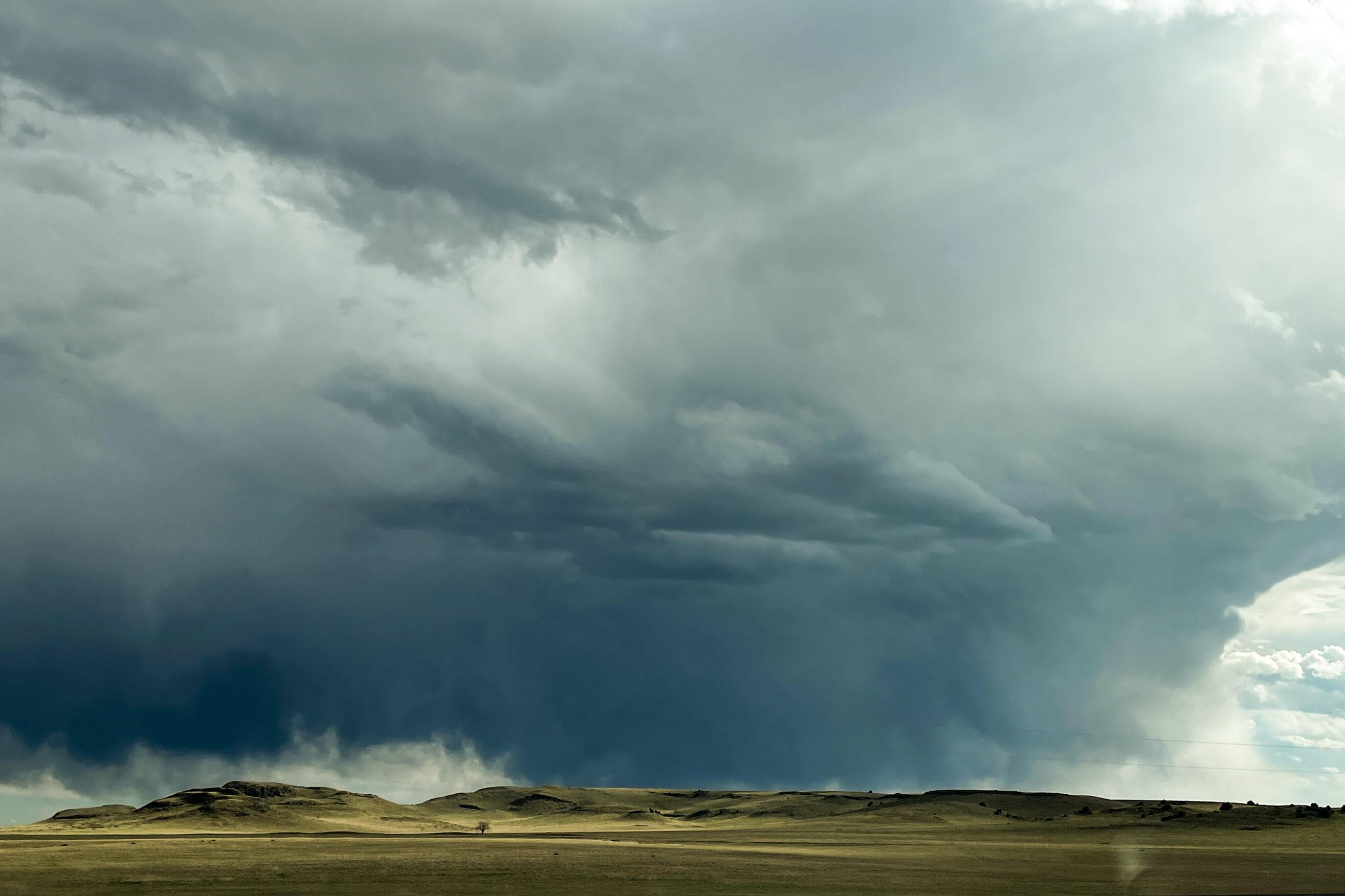
If the storm’s track holds, the moist air will lift when it approaches Colorado’s mountains. The result of that upslope flow, Barjenbruch said, could be heavy rain and snow in parts of the High Country on Saturday and Sunday.
“It looks like a pretty good chance for some significant precipitation,” he said. “It's going to behave like a winter-type storm. We're definitely going to see some snow accumulation.”
The heaviest snow would likely fall on the east-facing slopes of the Front Range. The rest of the Interstate 25 corridor and Eastern Plains would likely see rain, he said. That could simultaneously be a salve to drought-stricken regions of Colorado, slicken roads at higher elevations and fuel dangerous flash floods and debris slides in wildfire burn scars, the service said.
Several inches of rain and snow could fall in some areas, but Barjenbruch said there’s a lot of uncertainty in the forecast that will likely remain until just before the storm hits.
The biggest unknowns are the amount of Gulf moisture, where the storm hits and how quickly it moves — all factors that could mean the difference between missing out on much-needed moisture and disruptive flooding from the heaviest precipitation event in months.
“There are big potential ranges when it comes to the actual amount of precipitation,” he said.