Updated at 11:58 p.m. on Nov. 5.
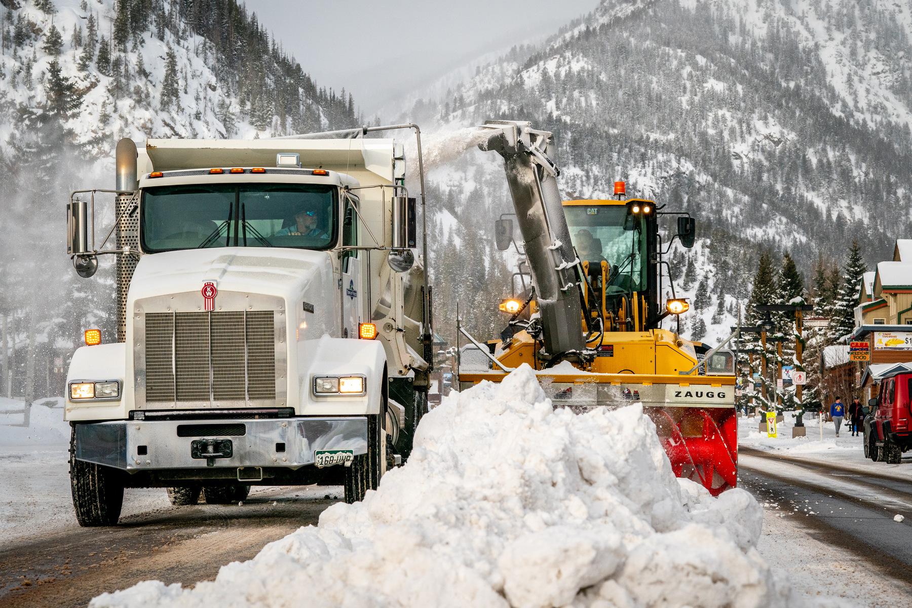
Waves of intense snow that fell in the High Country and lower elevations could make roads slick and dangerous.
The snowfall started Tuesday afternoon and slowed late in the evening, but it’s expected to continue overnight. Accumulation is expected to be the heaviest south of Interstate 70 and southeast of the Denver metro, said Zachary Hiris, a meteorologist with the National Weather Service’s Boulder office.
The weather service has issued a winter storm warning due to heavy bands of snow, which could mean more than a foot of snow for the eastern part of the Palmer Divide, northern Lincoln County and southern Washington County, he said.
There was a lot of uncertainty in forecast models ahead of the storm, including whether a line of dry air would tamp down on snow totals in Broomfield, Longmont and other areas north of the Denver metro, Hiris said. The weather service also wasn’t sure whether light snow would fall continuously Wednesday morning or more intermittently.
“Everything's kind of set up to have a pretty snowy rest of the night, and especially as you get into tomorrow, probably a little bit more coverage across the whole metro,” he said.
The weather service’s Pueblo office has issued a winter storm warning for the Sangre de Cristo and Wet Mountains, which could get more than a foot of snow through Wednesday. Fremont County could see snow totals as high as 9 or 10 inches in Fremont County and northern El Paso County, federal forecasters said.
The weather service’s Grand Junction office issued a separate winter weather advisory that covered parts of the Western Slope and warned that several inches of snow and gusty winds could make roads slick, reduce visibility and make driving difficult.
The weather service has also issued a separate winter weather advisory that covers much of the Western Slope and warned that several inches of snow and gusty winds could make roads slick, reduce visibility and make driving difficult overnight and during the Wednesday morning commute.


