Updated at 4:41 p.m. on November 8, 2024.
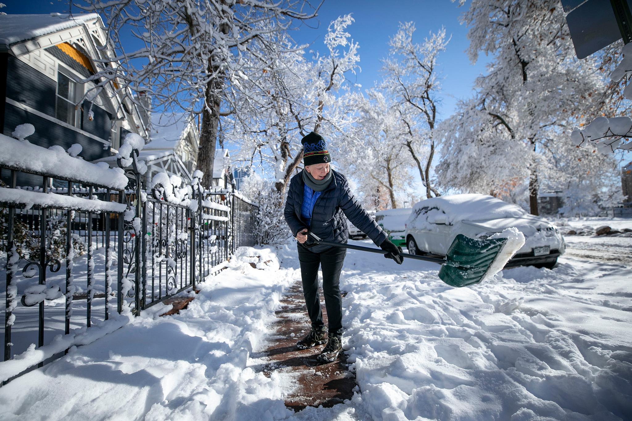
Sections of major interstates have been shut down and travel on other highways restricted amid a wave of snowfall that’s expected to intensify and dump historic amounts of snow in parts of central and eastern Colorado.
Gov. Jared Polis declared a disaster emergency for the state and activated the Colorado National Guard and the state emergency operations center to help cities and counties deal with the impacts. Snowfall may be measured in feet in parts of the state, particularly south and east of Denver.
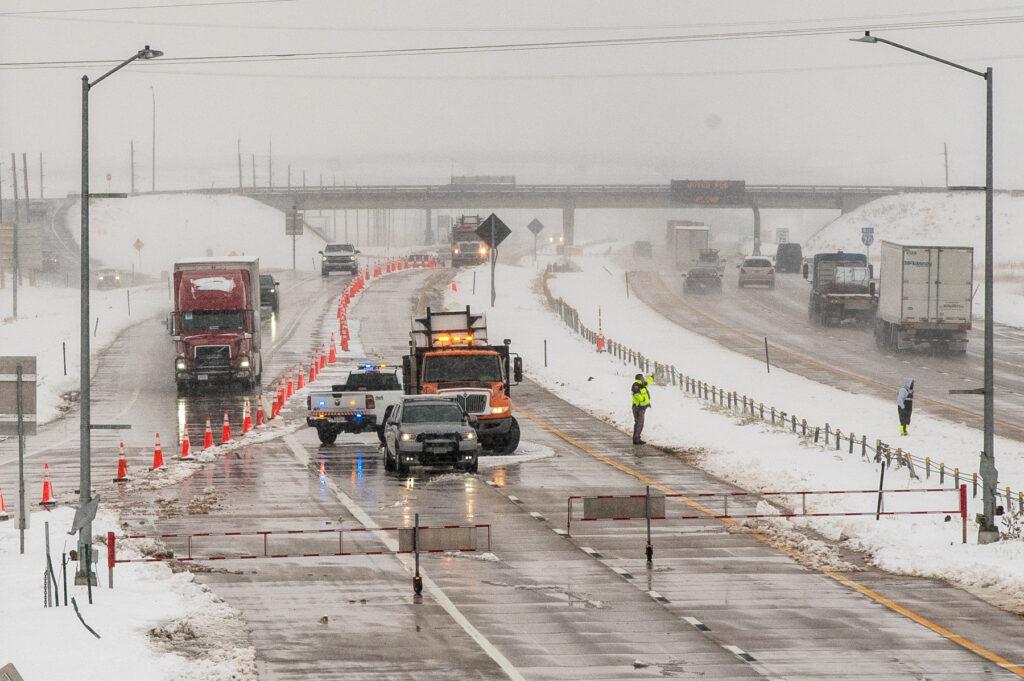
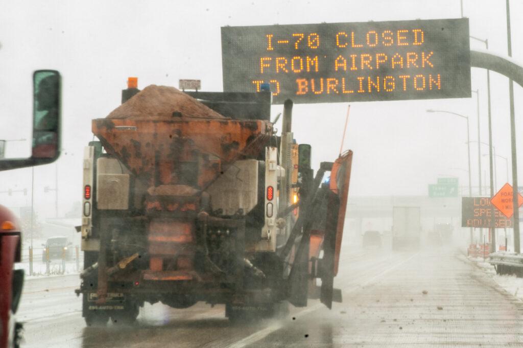
The Colorado Department of Transportation on Friday shut down two major interstates and warned of “treacherous,” nearly impossible travel conditions that could last through Saturday.
The agency is worried about increased ski traffic ahead of the long Veterans Day weekend and closed sections of major interstates indefinitely to discourage travel and keep motorists close to resources, said CDOT Communications Director Matt Inzeo.
Transportation authorities are also discouraging motorists from driving into the High Country, where they expect roads will become more dangerous after sunset.
Major road closures and restrictions
- Many roads are already closed in eastern Colorado, including Interstate 70 between E-470 and Burlington near the Kansas state line, and Interstate 25 south of Pueblo to south of Trinidad near the New Mexico state line
At 4 p.m., CDOT will start restricting vehicles towing trailers on some interstates and highways. Those include:
- I-70 in both directions from Golden to Silverthorne
- I-25 in both directions from mile marker 180 to mile marker 150
- U.S. Highway 285 in both directions from Morrison to Fairplay
- U.S 40. in both directions from Winter Park to Empire
- U.S. 6 in both directions from Keystone to Georgetown
Cars abandoned, flights canceled, hotels booked
- A spokesperson for the Colorado State Patrol says multiple cars have slid off the road on State Highway 10 and U.S. Route 160
- Some drivers have reportedly abandoned vehicles amid deteriorating road conditions and other drivers are awaiting tow trucks, the patrol said
- The patrol has also warned travelers that motels in eastern Colorado are booked solid.
- Schools and daycares across the region were preemptively closed, along with other government offices
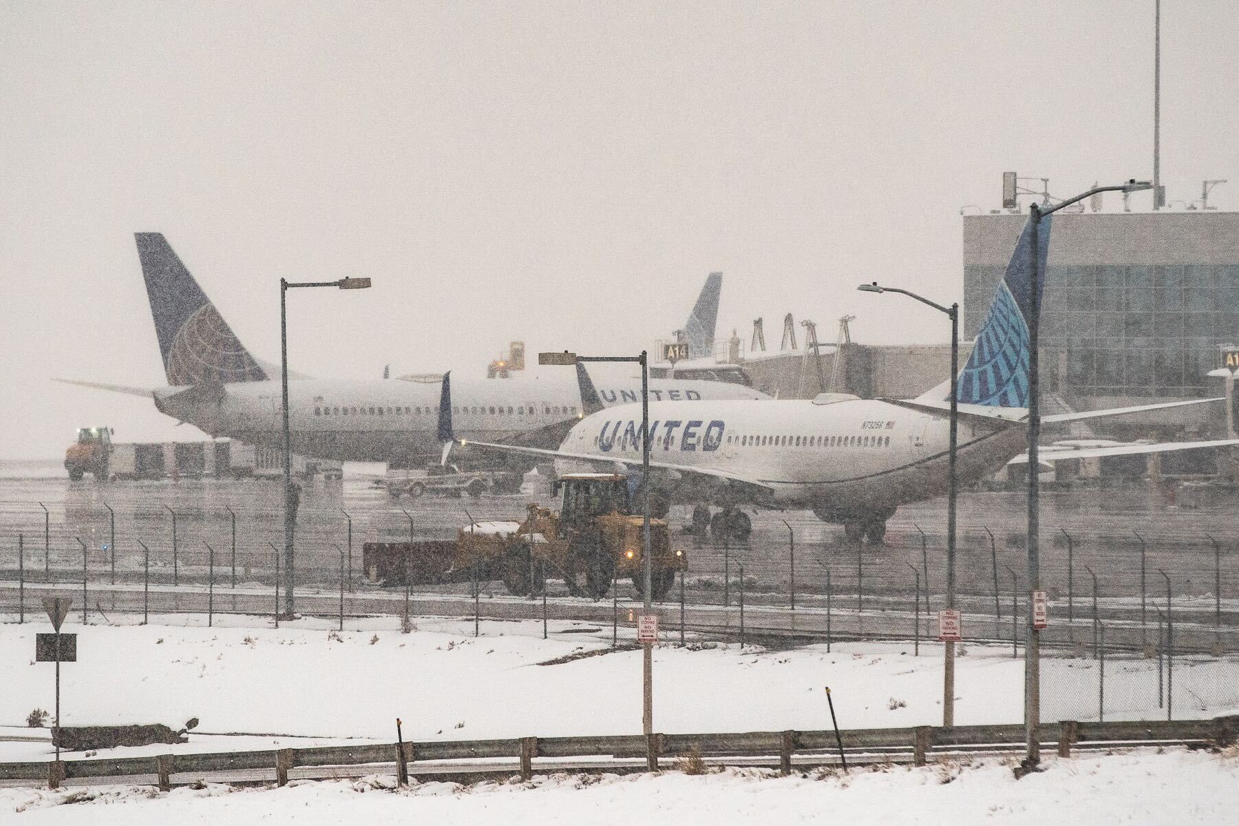
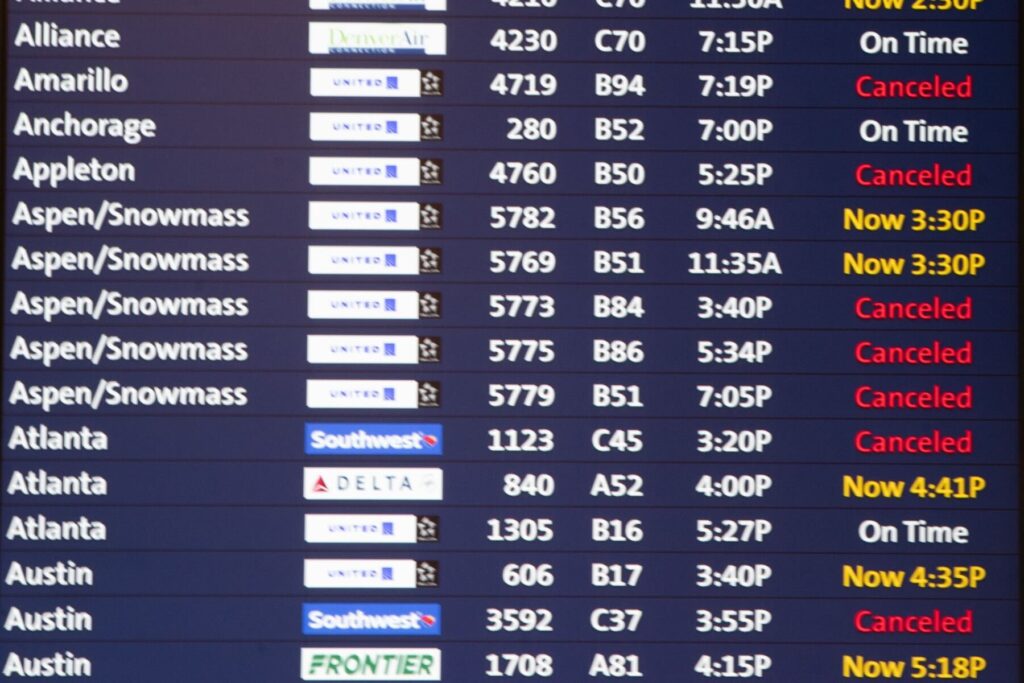
All the runways are currently open at Denver International Airport, but cancelations and delays are mounting:
- As of 1 p.m. Friday, more than 480 flights at Denver International Airport have been canceled and more than 700 have been delayed, according to the tracking service FlightAware.
Slow storm, steady snow
The snow is coming from the same storm system that has already dropped more than 3 feet of snow in parts of the Sangre de Cristo Mountains and 2 feet of snow in parts of Huerfano, Pueblo and Jefferson counties since Tuesday.
The storm system, which stalled out over the Four Corners area, has slowly and steadily fed moisture into Colorado for days. That system is expected to move from the Southern Rockies into central parts of the state and funnel in an intense blast of new snow, said Ayesha Wilkinson, a meteorologist with the National Weather Service’s Boulder field office.
Snowfall is expected to start intensifying this afternoon, she said. Forecast models show the bullseye is east of I-25 and south of I-70, with up to 18 inches of new snow possible from Castle Rock east to Kiowa, Limon and Karval.
“It's possible that it will be almost impossible to travel in some of those areas Friday night,” Wilkinson said.
Starting Friday afternoon, up to 2 inches of snow could fall per hour in those areas and the Palmer Divide, federal forecasters said. Intense snowfall is also expected in the Denver and Colorado Springs metro areas, which could get 8 inches of new snow, according to the weather service, which has issued winter storm warnings for almost the entire eastern half of Colorado.
Many skiers and boarders are cheering the long-lasting storm system and deluge of fresh snow, which is building a base for runs early in the ski season. The timing has been perfect for Vail Resorts, with the storm sandwiched between Keystone’s opening last weekend and today’s opening at Breckenridge, which has enjoyed more than 2 feet of fresh snow.
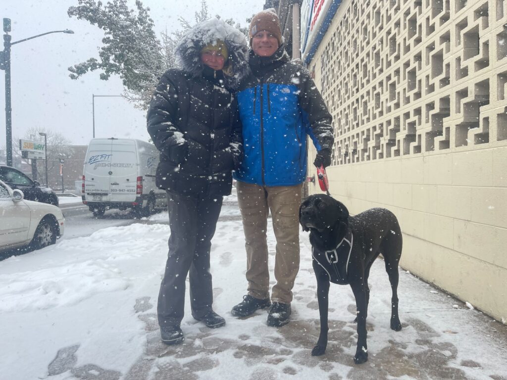
Joel Gratz, the founding meteorologist of OpenSnow — a weather forecasting app that delivers detailed snow reports and updates on ski conditions for the snow-obsessed — expects the storm will be disruptive, but noted that parts of Colorado desperately need the moisture.
The snowfall could be a gift in other ways, too, Gratz said.
“I know it impacts travel and traffic, but with a little bit of advanced planning … you can have a lot of fun in the snow and hopefully avoid most of the negative impact,” he said.
Haylee May, Molly Cruse, Alison Borden, Arlo Pérez Esquivel, Rachel Estabrook and Sarah Mulholland contributed to this report.

