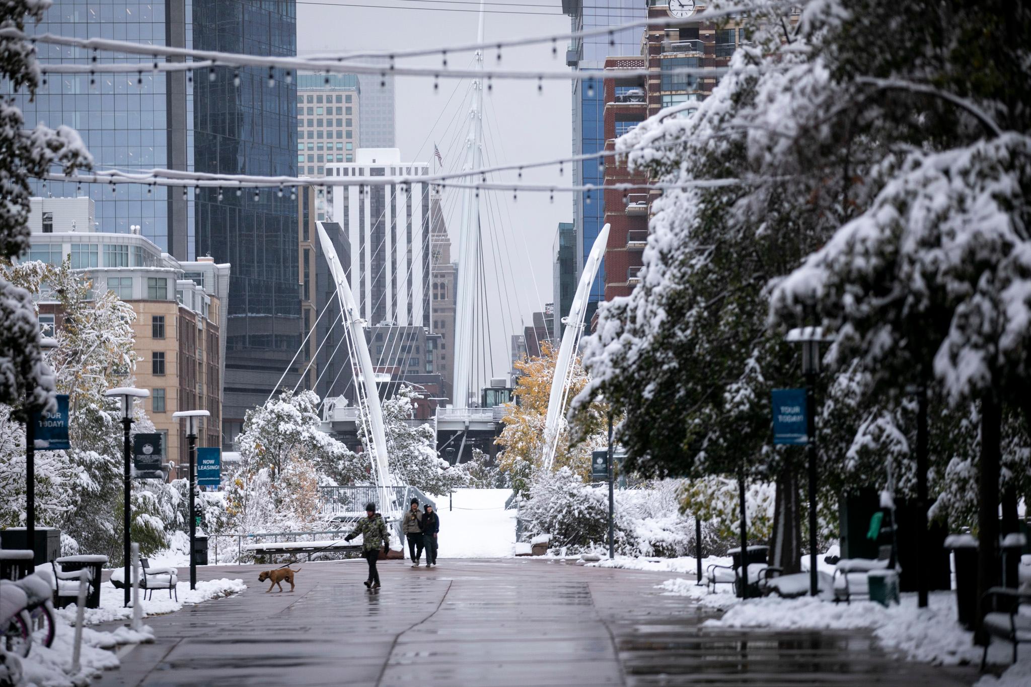
A pair of storm systems is expected to bring two waves of snow to the High Country over the next several days.
The first round will move into higher elevations of Western Colorado starting Sunday afternoon and evening, according to the National Weather Service’s Boulder office. The western edge of the Denver metro could also see some snow Sunday and into Monday.
The snow could make roads slick and dangerous and slow returning ski traffic on Interstate 70, the weather service said. A winter weather advisory for the snow has been issued for the following areas through 6 a.m. Monday:
- Columbine, Hahns Peak, Toponas, Buford and Trappers Lake — up to 10 inches
- Aspen, Vail, Snowmass, Crested Butte, Taylor, Park and Marble — up to 10 inches
- Centennial and Albany — up to 9 inches
- Rabbit Ears Pass — up to 8 inches
A second, stronger storm system packing the potential for more intense snowfall is expected to start in the mountains Tuesday night. By Wednesday, snow could move into the Denver metro, said National Weather Service meteorologist Bob Kleyla.
Heavy snowfall could fall in parts of the I-25 corridor, especially the Palmer Divide, but most of the snow is expected to stay on the western portion of the Denver metro, Kleyla said.
“The Plains, overall, may not see all that much snow with the second system,” he said.
The second storm system should move out of the Colorado Wednesday, he said, leaving much of the state cold and dry for Thanksgiving Day.

