Updated on Nov. 26, at 11:25 a.m.
The powerful winter storm that’s moved into western Colorado is expected to intensify this afternoon and could dump more than 2 feet of snow across mountain areas and high valleys across the state.
The storm could close roads and create major travel disruptions that could last until Thanksgiving Day, said Maggie Ideker with the National Weather Service’s Boulder office. The rate of snowfall is expected to increase tonight and fall as fast as 2 inches per hour, she said.
The deluge of heavy snow and strong winds will create very dangerous avalanche conditions today and Wednesday in parts of the Central Mountains, according to the Colorado Avalanche Information Center. The center has issued avalanche warnings for the Ragged Mountains and Monarch Pass through Wednesday night and warned people venturing into the backcountry to avoid vulnerable areas until Thursday.
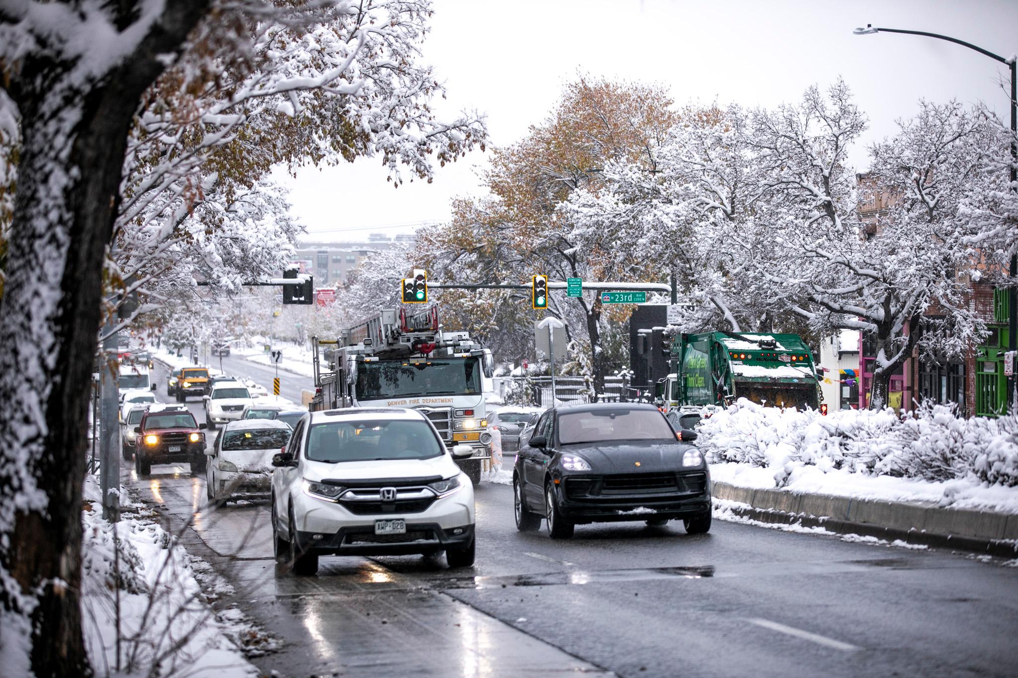
Forecasters say the snowfall should slow by Wednesday, which will bring the best chance for accumulations in the foothills, urban corridor and parts of the Denver metro, which could get up to 4 inches in some areas, Ideker said. Areas near the Palmer Divide could get up to 6 inches.
“One of our greatest concerns right now, at least for east of the foothills, are the cold temperatures that will happen on Thursday,” she said. “Any wet roads could freeze over and have some hazardous road conditions when people are traveling for Thanksgiving.”
The National Weather Service has also warned that heavy snow and wind gusts could damage trees and power lines. The agency has issued a winter storm warning for much of the High Country through Wednesday:
- Flat Tops, Elkhead and Park Mountains, including communities of Hahns Peak, Toponas, Buford, and Trappers Lake — up to 36 inches
- Grand and Battlement Mesas, Gore, Elk, Central and Sawatch Mountains, including Skyway, Aspen, Vail, Snowmass, Crested Butte, Taylor Park and Marble — up to 36 inches
- San Juan Mountains, including Telluride, Ouray, Lake City, Silverton, Rico and Hesperus — up to 36 inches
- Upper Yampa River Basin, including Steamboat Springs — up to 16 inches
Separate warnings have been issued for high elevations in the following areas through Thursday morning.
- The Eastern Sawatch, La Garita and Eastern San Juan mountain ranges, including North Pass, Bonanza, Cumbres Pass and Wolf Creek Pass — up to 36 inches
- Western Chaffee County — up to 30 inches
- Western Mosquito Range/East Lake County — up to 24 inches
- Wet Mountains — up to 16 inches
- The Sangre de Cristo Mountains, including the Spanish Peaks and Blanca Peak — up to 20 inches
Most of the Eastern Plains will likely only see small amounts of snow, Ideker said.
This is the second wave of a two-part storm that hit the High Country on Sunday and Monday. Ideker said the system moved in from the northwestern United States, where it picked up a lot of moisture from the Pacific Ocean.


