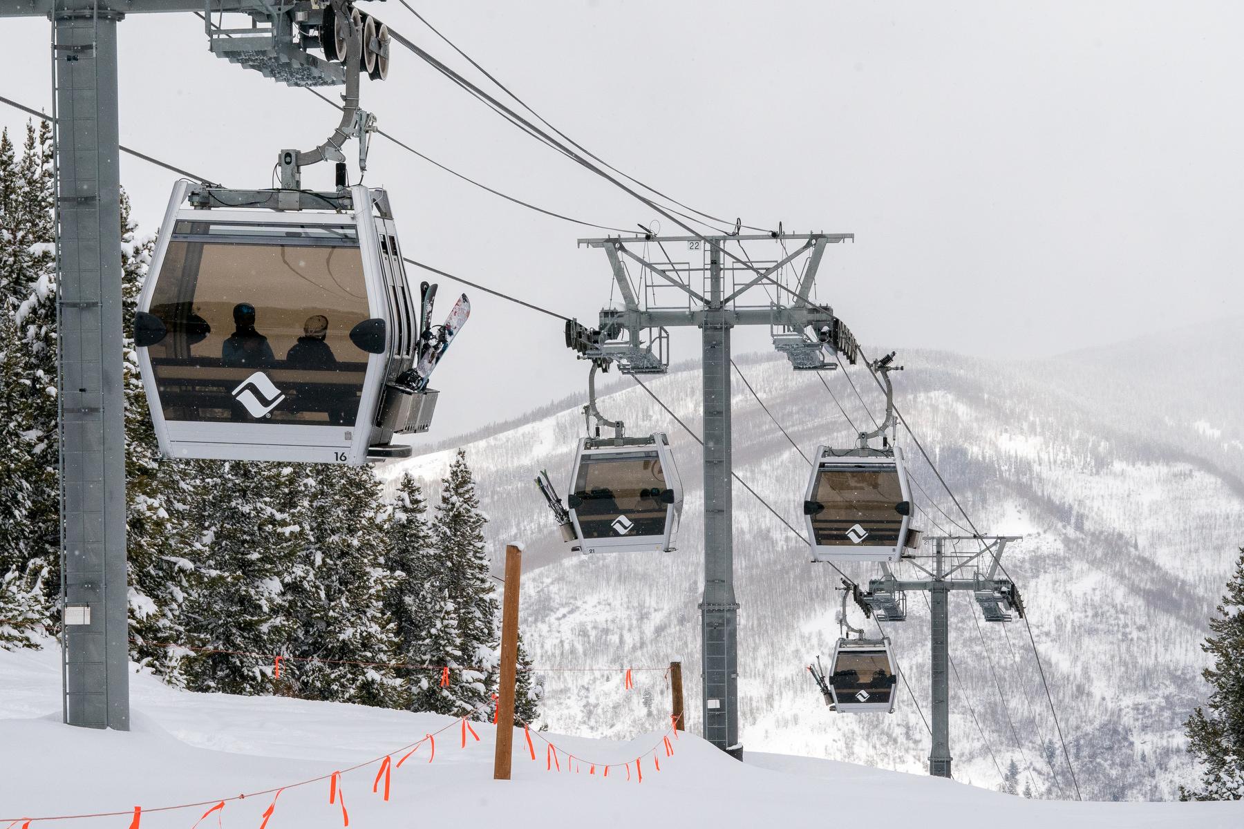
Looking to kill some time around the holidays by hitting the slopes? Skiers and snowboarders won’t be disappointed with the amount of snow.
The National Weather Service in Boulder forecasts an active pattern across the mountains through this weekend and into Monday. Most areas are expected to get up to two feet of snow heading into the New Year. Steamboat Springs and the Rabbit Ears Pass area could see as much as three feet.
“We'll see periods of on-and-off snow much of the time, (with) probably a little bit of a lull on Sunday,” said Bernie Meier, meteorologist for the National Weather Service in Boulder. “But generally, we'll see periods of light snow in the mountains with a few occasions where it's going to be heavier with that.”
The snowfall is expected to begin Thursday night and could make for treacherous driving at times. I-70 was closed near Georgetown for a time on Christmas because of poor road conditions.
While the mountains see snow, the foothills and northern Front Range will return to dry conditions through the weekend, with above normal temperatures and gusty winds at times.
The forecast is welcome news for both ski areas and water users, coming the mountains didn’t see much snow ahead of Christmas. The heaviest snowfall in recent weeks was in Breckenridge with five inches. Communities west of Denver saw a tenth to an inch of snow before the holiday.
“Even with the dry December, we've seen enough little weak storms here and there that kept us above last year's pace,” Meier said. “Though we're not too far ahead, most of the mountain ranges are doing a little bit better than we saw last year at this time.”
However, going into this fresh round of storms, the mountain snowpack is still below normal for this time of year, with most river basins reporting 75 to 95 percent of what they typically get. Only the Rio Grande basin is currently at 100 percent.
With the expected snowfall, avalanche hazards across the state are expected to increase. The Colorado Avalanche Information Center forecasts a Level Three (out of five) on the Avalanche Danger scale which is considerable avalanche danger.
“Just because it's in the middle of the scale, you don't want to underplay, this means dangerous avalanche conditions,” CAIC deputy director Brian Lazar said. “It means we're not quite into the place where we expect a widespread cycle of destructive natural avalanche activity, but that means that many slopes are going to be ripe for human triggered avalanches.”
Lazar said backcountry travel is not recommended in the central northern mountains from late weekend through early into the next week.
“By the time we accumulate our last punch of snow, which comes Sunday into Monday, we're going to be exceeding essentially the thresholds that our snowpack can actually handle,” Lazar said. “So, that's why we're going to see widespread dangerous avalanche conditions as we move closer to the new year.”

