Updated 11:35 a.m., Feb. 11, 2025
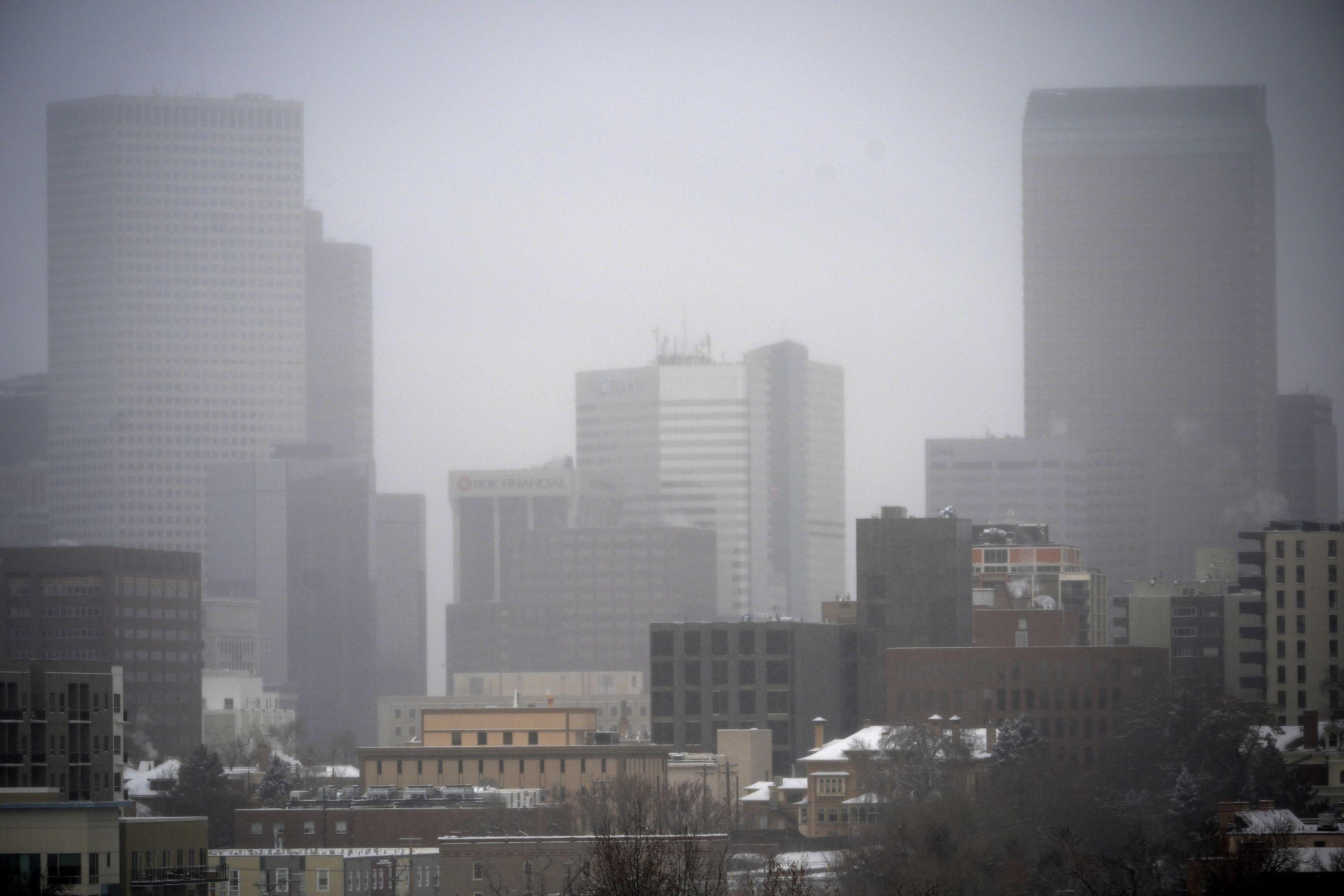
A cold front from Montana and Canada is bringing significant snowfall and subzero temperatures to Colorado.
Russell Danielson, a meteorologist at the National Weather Service, said early Tuesday that light, fluffy snow will fall throughout much of the day on the Front Range and parts east of Denver. The heaviest snowfall, however, is expected overnight Tuesday as temperatures plummet below zero — bringing 3 to 6 inches of accumulation across the Denver metro and Eastern Plains.
Temperatures are expected to reach -6 degrees in Denver Wednesday night, while parts of the Eastern Plains could see bitterly cold lows in the negative teens.
The northern mountains can expect to see even more snowfall — with totals ranging from 4 to 10 inches.
The state will get a brief break from the snow on Wednesday — with highs in Denver reaching 39 degrees by Thursday — but Danielson says snow could return to the mountains late Thursday night.
“It’s a very active snow pattern,” Danielson said. “Just snow and cold.”
Strong winds later could create visibility issues over Monarch, Red Mountain, and Wolf Creek Passes later in the day on Tuesday, according to a spokesperson with the state’s transportation authority.
By Wednesday afternoon, conditions are expected to worsen over Rabbit Ears and Cameron Passes and spread to nearby mountain corridors — including, Vail, Berthoud, Loveland, Red Mountain, Wolf Creek, and La Veta Passes.
On the Eastern Plains, road conditions will worsen tonight due to the expected heavy snowfall. So Austyn Dineen, a spokesperson for Colorado Department of Transportation, warns commuters to prepare themselves for “a messy Wednesday AM traffic rush.”
“Strong winds on the Eastern Plains will create overnight visibility concerns from blowing snow, particularly south of I-70,” Dineen told CPR News in a statement. “Recovery will be slow Wednesday due to the cold, but clearing skies will help, and warmer temperatures return Thursday.”
Dineen suggests travelers use CDOT’s COtrip.org and COtrip Planner app in “winter mode” to plan travel over the next few days.


