Colorado’s northern mountains, including Steamboat Springs and Summit County, may see up to 15 inches of snow by Tuesday morning, according to the National Weather Service.
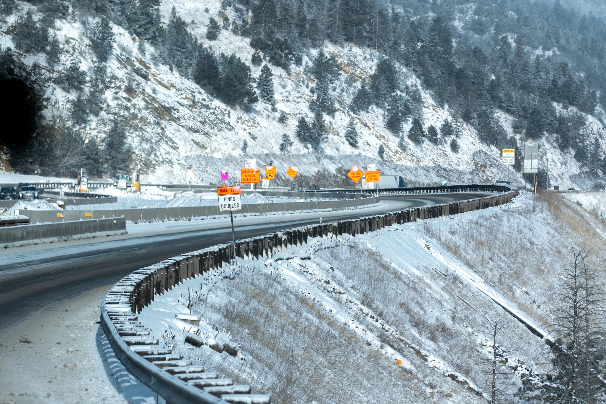
The Interstate 70 corridor could see 1 to 2 inches of snow per hour. Winds may gust as high as 40 to 50 mph.
Roads are likely to be hazardous and possibly impassable. The National Weather Service has issued a Winter Storm Warning for parts of the mountains through 5 a.m. Tuesday morning.
On Monday morning, the Colorado Department of Transportation closed U.S. Highway 6 between Interstate 70 and Mile Marker 222 due to adverse conditions. Parts of I-70 were closed intermittently due to weather related issues and crashes.
The Colorado Avalanche Information Center has issued an avalanche warning for high avalanche danger through Tuesday with a high level of avalanche danger near and north of I-70. Areas farther south also had “considerable” danger.”
Monday's storm adds to snowfall over the weekend and last week, with many ski areas totaling more than two feet since Thursday. Vail topped the state with 40 inches of snow in that time, according to OpenSnow.
Meanwhile, from 2 to 8 inches of snow may fall in the San Juan Mountains and the central part of the state, and 2 to 3 inches was expected for the Eastern Plains. The Interstate 25 corridor wasn’t expected to see much accumulation.
An extreme cold warning is in effect for the Eastern Plains, with wind chills of 25 below zero possible. That means frostbite is possible in as little as 15 minutes — so be sure to keep your skin covered and bring your animals inside.
Some light snow could continue in Southeastern Colorado through Tuesday with temperatures in the single digits possible through Thursday morning.