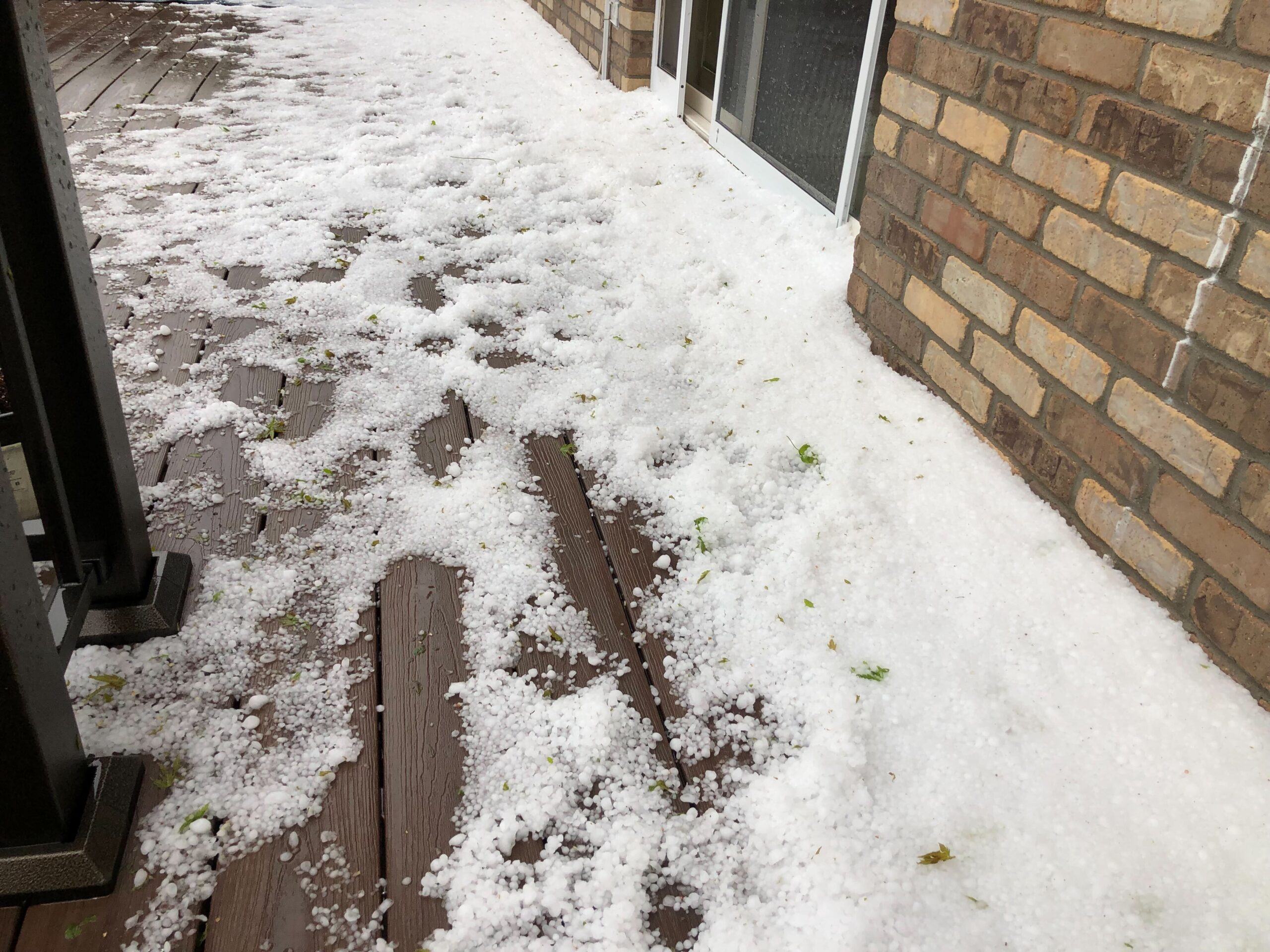
The first hailstorm of the season is forecast to hit the state with a round of thunderstorms starting Thursday afternoon.
“We expect things to get going around 2 p.m. or so, plus or minus an hour. The storm should initiate over the foothills and I-25 corridor, then push east through the late afternoon and evening,” said Boulder National Weather Service leading meteorologist Bruno Rodriguez.
The most severe weather is forecast over the urban corridor and into the southern plains off the Palmer Divide into Lincoln County. The main threats are hail over an inch in diameter and damaging winds.
“It’s a really large five-hour window over the urban corridor – so if you can park your car in a covered location, it would be advised,” Rodriguez said. Hail of this size forms when there is a persistent and intense vertical uplift of air within the core of a storm. That upward push allows hailstones to grow larger in the air before falling.
Thunderstorms across the state will provide variable precipitation Thursday. Areas that do get rain will see between a quarter to a half-an-inch total, but most places will get less than that.
Overall, metro Denver has had a fairly dry start to the calendar year. “We've received 2.44 inches. The average is 2.9, so we're about half inch under at this point,” Rodriguez said.
Forecasts show Friday will be more stable in metro Denver. “There could be some lingering drizzle, low clouds, maybe even some fog during the day,” Rodriguez said. “It will be a lot cooler as the temperature falls back into the 50s, and maybe even 40s in some locations.”
The weekend is projected to be much warmer along the Front Range, with sunshine and highs in the mid-70s to low 80s.
Invest in a more sustainable future. Support climate solutions reporting.